Chest opened
+${chestReward.xp} XP
Explorer
NOUVEAU ×${chestReward.collectible.quantity}
tapez pour fermer
Chest locked

Open chests in the app

Around Us is built for your phone — chests unlock when you walk, explore and capture nearby places.

Enable Location

We need your location to show you interesting places around you

Discover nearby places

Find interesting locations and hidden gems around you

Precise directions

Get accurate directions and distances to places

Your location is never shared with other users. It's only used when you tap the location button.

Log in to your account

Start exploring — it's free

Trusted by 73,097 travelers worldwide

Continue with Google
Continue with Apple
or

We will send you a code to connect

By continuing, you accept our Terms and Conditions and our Privacy Policy

Check your inbox

We've sent a pincode in your inbox. Please enter the code below.

Lovelock Paiute Tribe of the Lovelock Indian Colony
Discussion Reviews Photo
2.5k Popularity

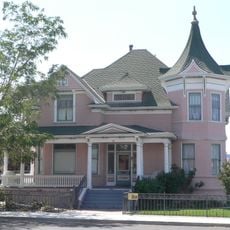
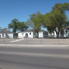
Lovelock Paiute Tribe of the Lovelock Indian Colony, Native American reservation in Pershing County, Nevada.

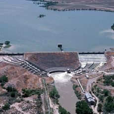
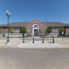
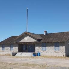
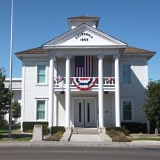
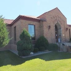
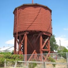
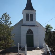
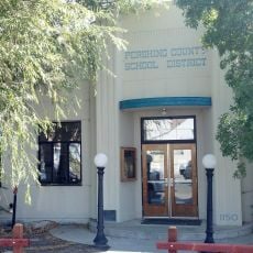
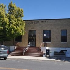
The Lovelock Paiute Tribe is a Native American community in Pershing County located on land in northern Nevada. The settlement includes administrative buildings, housing, and community facilities that support daily life for residents.

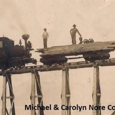
The colony began in 1907 with the purchase of land for a school, followed by additional acreage added under federal policy. These early acquisitions formed the foundation for the community that exists today.

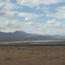
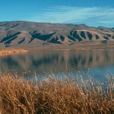
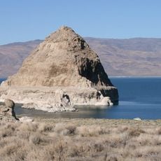
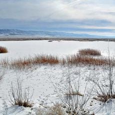
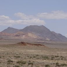
The Lovelock Paiute community maintains traditions through language initiatives and gatherings that bring people together. These activities help keep ancestral knowledge about the region's resources and landscape alive for younger generations.

The community is governed by a five-member tribal council and maintains a small police presence. It is best to contact the tribal office in advance if planning to visit, as this helps ensure smooth access and understand what services or facilities may be available.

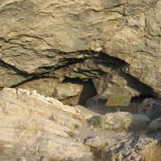
The tribe was formerly known as Koop Ticutta, a name referring to ground squirrel hunters that reflects their traditional subsistence practices. This historical name reveals how closely the community was connected to the wildlife found in their territory.

The community of curious travelers

AroundUs brings together thousands of curated places, local tips, and hidden gems, enriched daily by 60,000 contributors worldwide.

Start exploring
Location
GPS coordinates
40.17390,-118.48300
Latest update
December 12, 2025 17:41
Around this place
Lovelock Cave
United States of America

Lovelock Cave

24.4 km
Thunder Mountain Monument
United States of America

Thunder Mountain Monument

61.7 km
Rye Patch Reservoir
United States of America

Rye Patch Reservoir

36.2 km
Rye Patch State Recreation Area
United States of America

Rye Patch State Recreation Area

36.2 km
Star Peak
United States of America

Star Peak

47 km
Lahontan Dam
United States of America

Lahontan Dam

93.5 km
Humboldt Cave
United States of America

Humboldt Cave

38.4 km
Stillwater National Wildlife Refuge
United States of America

Stillwater National Wildlife Refuge

64.7 km
Anaho Island National Wildlife Refuge
United States of America

Anaho Island National Wildlife Refuge

91.1 km
Fallon National Wildlife Refuge
United States of America

Fallon National Wildlife Refuge

48.3 km
Salmon Creek Railroad
United States of America

Salmon Creek Railroad

78.4 km
Pershing County Courthouse
United States of America

Pershing County Courthouse

3.8 km
Marzen House
United States of America

Marzen House

385 m
Oats Park Grammar School
United States of America

Oats Park Grammar School

81.7 km
Harmon School
United States of America

Harmon School

78.1 km
Holy Trinity Episcopal Church
United States of America

Holy Trinity Episcopal Church

82.2 km
Churchill County Jail
United States of America

Churchill County Jail

81.8 km
Churchill County Courthouse
United States of America

Churchill County Courthouse

81.9 km
Fallon City Hall
United States of America

Fallon City Hall

81.8 km
Gerlach Water Tower
United States of America

Gerlach Water Tower

91 km
Wadsworth Union Church
United States of America

Wadsworth Union Church

90.9 km
Robert L. Douglass House
United States of America

Robert L. Douglass House

81.8 km
The Cottage Schools
United States of America

The Cottage Schools

82 km
Topog Peak
United States of America

Topog Peak

35.2 km
Ragged Top Mountain
United States of America

Ragged Top Mountain

29 km
Vocational-Agriculture Building
United States of America

Vocational-Agriculture Building

9.8 km
U.S. Post Office-Lovelock Main
United States of America

U.S. Post Office-Lovelock Main

1.1 km
Maine Street Historic District
United States of America

Maine Street Historic District

82 km
Show the full map
Reviews
Share your experience

No review yet

Discussions
Start a discussion...

No discussion yet

« Lovelock Paiute Tribe of the Lovelock Indian Colony - Native American reservation in Pershing County, Nevada » is provided by Around Us (aroundus.com). Images and texts are derived from Wikimedia project under a Creative Commons license. You are allowed to copy, distribute, and modify copies of this page, under the conditions set by the license, as long as this note is clearly visible.

Discover hidden gems everywhere you go!

From secret cafés to breathtaking viewpoints, skip the crowded tourist spots and find places that match your style. Our app makes it easy with voice search, smart filtering, route optimization, and insider tips from travelers worldwide. Download now for the complete mobile experience.

Around Us App Screenshot

A unique approach to discovering new places

Le Figaro

All the places worth exploring

France Info

A tailor-made excursion in just a few clicks

20 Minutes

Around Us
Travel Guide & Maps
Download

Send to your phone

QR Code
1

Open the camera app on your mobile.

2

Point at the QR code with your camera. A notification will appear.

3

Tap the notification to open the link.