
Melody Rim, cliff in Washoe County, Nevada, United States of America
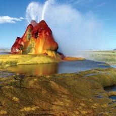
Fly Geyser
17 km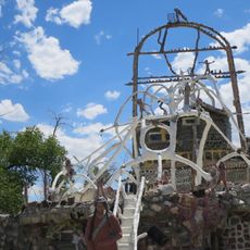
Thunder Mountain Monument
118.4 km
Sheldon National Wildlife Refuge
95.6 km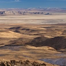
Black Rock Desert – High Rock Canyon Emigrant Trails National Conservation Area
36.1 km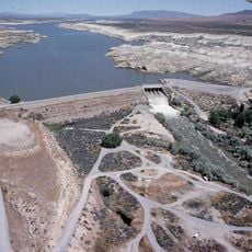
Rye Patch Reservoir
113 km
South Warner Wilderness
72.2 km
Modoc National Wildlife Refuge
102.9 km
Black Rock Desert Wilderness
67 km
Rye Patch State Recreation Area
113 km
Star Peak
120.8 km
Fandango Pass
111.4 km
Eagle Peak
70.2 km
High Rock Canyon Wilderness
47.1 km
Anaho Island National Wildlife Refuge
112.4 km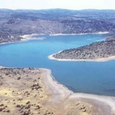
Dodge Reservoir
55.3 km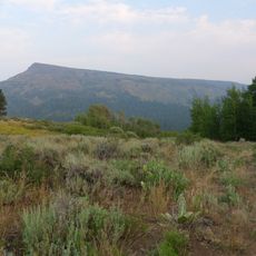
Hat Mountain
58.1 km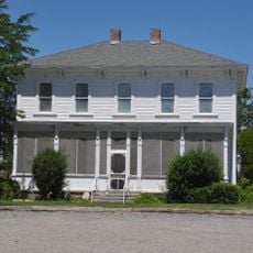
Marzen House
122.1 km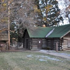
Roop's Fort
116.2 km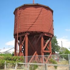
Gerlach Water Tower
36.2 km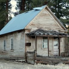
Jess Valley Schoolhouse
77.4 km
Ragged Top Mountain
118.4 km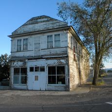
Standish Hall
103.6 km
Vocational-Agriculture Building
112.1 km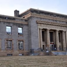
Lassen County Court House
116.9 km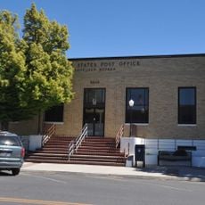
U.S. Post Office-Lovelock Main
121.7 km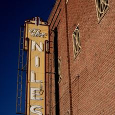
Niles Theater
106.2 km
Lassen County Fairgrounds
114.9 km
Sandy Beach
113.1 kmReviews
Visited this place? Tap the stars to rate it and share your experience / photos with the community! Try now! You can cancel it anytime.
Discover hidden gems everywhere you go!
From secret cafés to breathtaking viewpoints, skip the crowded tourist spots and find places that match your style. Our app makes it easy with voice search, smart filtering, route optimization, and insider tips from travelers worldwide. Download now for the complete mobile experience.

A unique approach to discovering new places❞
— Le Figaro
All the places worth exploring❞
— France Info
A tailor-made excursion in just a few clicks❞
— 20 Minutes