Enable Location

We need your location to show you interesting places around you

Discover nearby places

Find interesting locations and hidden gems around you

Precise directions

Get accurate directions and distances to places

Your location is never shared with other users. It's only used when you tap the location button.

Washoe County

Log in to your account

Start exploring — it's free

Trusted by 61,319 travelers worldwide

Continue with Google
Continue with Apple
or

We will send you a code to connect

By continuing, you accept our Terms and Conditions and our Privacy Policy

Check your inbox

We've sent a pincode in your inbox. Please enter the code below.

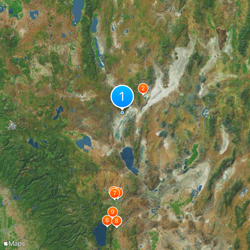
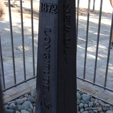
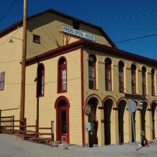
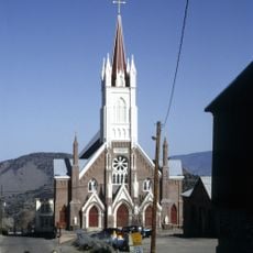
Washoe County, County in Nevada, United States

Description

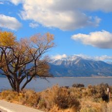
Washoe County is an administrative territory in western Nevada that includes sections of Lake Tahoe and the Sierra Nevada range. The territory extends from the California border to the wide desert landscape east of Reno.

History

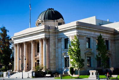
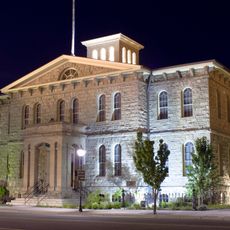
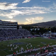
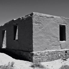
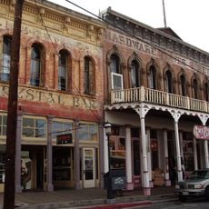
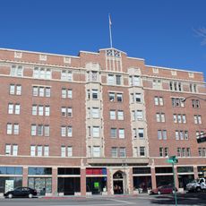
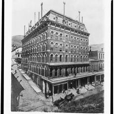
The territory formed in 1861 as one of the first nine administrative districts of Nevada Territory. Ten years later, officials moved the administrative center from Washoe City to the growing town of Reno.

Culture

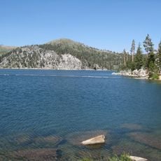
The administrative territory takes its name from the Washoe people, who have lived here for centuries and still maintain their language today. Their connection to Lake Tahoe continues to shape the cultural identity of this region.

Practical

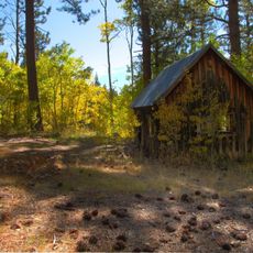
The road between Reno and the lake passes through several elevation zones and may have snow in winter. In summer, the same route gives access to mountain hiking trails.

Did you know?

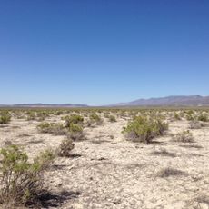
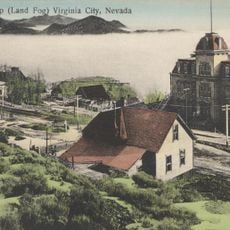
Virginia Peak rises visibly above the northern Nevada desert and serves travelers as a natural landmark. The summit marks one of the highest points between the Sierra Nevada and the open plains.

Location
Inception
1861
Capital city
Reno
Shares border with
Lake County, Harney County, Humboldt County, Pershing County, Churchill County, Lyon County, Storey County, Carson City, Placer County, Nevada County, Sierra County, Lassen County, Modoc County
GPS coordinates
40.63000,-119.68000
Latest update
December 13, 2025 16:03

AroundUs brings together thousands of curated places, local tips, and hidden gems, enriched daily by 60,000 contributors worldwide. Discover all places nearby (Nevada).

Around this place
Fly Geyser
United States of America

Fly Geyser

38.9 km
Carson City Mint
United States of America

Carson City Mint

163 km
Mackay Stadium
United States of America

Mackay Stadium

121.1 km
Nugget Casino Resort
United States of America

Nugget Casino Resort

122.2 km
Thunderbird Lodge
United States of America

Thunderbird Lodge

163.5 km
National Automobile Museum
United States of America

National Automobile Museum

123.4 km
Nevada Governor's Mansion
United States of America

Nevada Governor's Mansion

163 km
Bowers Mansion
United States of America

Bowers Mansion

150.4 km
Old Washoe Club
United States of America

Old Washoe Club

147 km
Fort Churchill State Historic Park
United States of America

Fort Churchill State Historic Park

152.9 km
Harold's Club
United States of America

Harold's Club

123.3 km
Virginia City Historic District
United States of America

Virginia City Historic District

146.9 km
United States of America

Nevada State Museum, Carson City

162.9 km
Washoe Lake State Park
United States of America

Washoe Lake State Park

154.4 km
Sheldon National Wildlife Refuge
United States of America

Sheldon National Wildlife Refuge

135.5 km
Riverside Hotel
United States of America

Riverside Hotel

123.6 km
Galena Creek Bridge
United States of America

Galena Creek Bridge

142.9 km
Lake Tahoe State Park
United States of America

Lake Tahoe State Park

163.4 km
1872 California-Nevada State Boundary Marker
United States of America

1872 California-Nevada State Boundary Marker

126.1 km
Piper's Opera House
United States of America

Piper's Opera House

146.9 km
Pioneer Center for the Performing Arts
United States of America

Pioneer Center for the Performing Arts

123.6 km
Marlette Lake Water System
United States of America

Marlette Lake Water System

157.3 km
Wild Island
United States of America

Wild Island

122.4 km
United States of America

Wilbur D. May Center

121.3 km
Carson Hot Springs
United States of America

Carson Hot Springs

160.1 km
St. Mary's in the Mountains Catholic Church
United States of America

St. Mary's in the Mountains Catholic Church

147.1 km
International Hotel
United States of America

International Hotel

146.9 km
Fourth Ward School
United States of America

Fourth Ward School

147.7 km
Show the full map
« Washoe County - County in Nevada, United States » is provided by Around Us (aroundus.com). Images and texts are derived from Wikimedia project under a Creative Commons license. You are allowed to copy, distribute, and modify copies of this page, under the conditions set by the license, as long as this note is clearly visible.

Discover hidden gems everywhere you go!

From secret cafés to breathtaking viewpoints, skip the crowded tourist spots and find places that match your style. Our app makes it easy with voice search, smart filtering, route optimization, and insider tips from travelers worldwide. Download now for the complete mobile experience.

Around Us App Screenshot

A unique approach to discovering new places

Le Figaro

All the places worth exploring

France Info

A tailor-made excursion in just a few clicks

20 Minutes

Around Us
Travel Guide & Maps
Download

Send to your phone

QR Code
1

Open the camera app on your mobile.

2

Point at the QR code with your camera. A notification will appear.

3

Tap the notification to open the link.