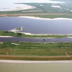
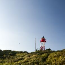
Lütje Hörn, Protected island in East Frisian Islands, Germany.
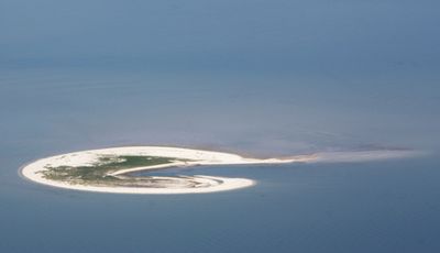
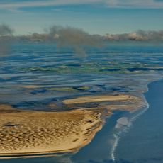
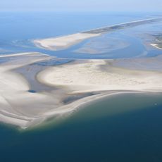
Lütje Hörn is a protected island in the North Sea located southeast of Borkum within the East Frisian Islands. The island covers around 31 hectares with natural terrain featuring salt marshes, sandbars, and shallow coastal zones typical of barrier islands.
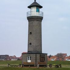
The island first appeared in maritime navigation documents in 1576 under the name Hooghe Hörn, showing its importance to North Sea seafaring. Since then its location has shifted due to natural coastal processes that continue to reshape the island.
The name comes from the Frisian language meaning 'little', reflecting local linguistic roots and how the island fits within the broader archipelago. This connection to Frisian heritage shapes how locals understand and refer to the place.
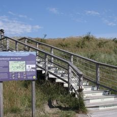
Access to the island requires explicit permission from the National Park Administration before visiting. There are no buildings or permanent structures, so visitors should prepare for exposed conditions and bring necessary supplies.
Between 1961 and 1999, the island shifted about 600 meters eastward and 150 meters southward due to natural forces. This movement demonstrates how dynamic the coastal processes are and how constantly the landscape transforms.
The community of curious travelers
AroundUs brings together thousands of curated places, local tips, and hidden gems, enriched daily by 60,000 contributors worldwide.