Chest opened
+${chestReward.xp} XP
Explorer
NOUVEAU ×${chestReward.collectible.quantity}
tapez pour fermer

See the monuments around you in AR Open chests in the app

Around Us is built for your phone — point your camera at the streets and discover the monuments and places around you in augmented reality. Around Us is built for your phone — chests unlock when you walk, explore and capture nearby places.

Enable Location

We need your location to show you interesting places around you

Discover nearby places

Find interesting locations and hidden gems around you

Precise directions

Get accurate directions and distances to places

Your location is never shared with other users. It's only used when you tap the location button.

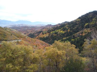
Butterfield Canyon

Log in to your account

Start exploring — it's free

Trusted by 86,111 travelers worldwide

Continue with Google
Continue with Apple
or

We will send you a code to connect

By continuing, you accept our Terms and Conditions and our Privacy Policy

Check your inbox

We've sent a pincode in your inbox. Please enter the code below.

Butterfield Canyon
Discussion Reviews 1 Photos
4.9k Popularity

Butterfield Canyon, Canyon in Salt Lake County, United States

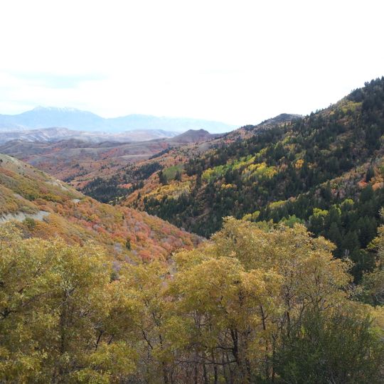
Butterfield Canyon is a canyon in the Oquirrh Mountains southwest of Salt Lake County, characterized by steep rock walls that rise through the landscape. The valley contains trails and scenic overlooks that lead visitors through the mountainous terrain of the region.

The canyon was discovered in 1851 by Thomas Jefferson Butterfield and Samuel Egbert while searching for suitable grazing lands near a water source. This discovery led to early exploration and use of this mountain passage in the region.

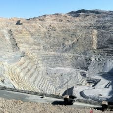
The canyon provides access points to observe the extensive operations of Kennecott Utah Copper, representing the industrial heritage of the region.

The valley is only accessible during warmer months, as snow and ice block the road. Visitors should plan their visit for summer months and bring warm clothing layers.

Coral fossils can be found within the rock walls, showing that this area once lay beneath a prehistoric sea. These remains tell the story of a distant past that shaped the landscape.

The community of curious travelers

AroundUs brings together thousands of curated places, local tips, and hidden gems, enriched daily by 60,000 contributors worldwide.
Start exploring
Location
Elevation above the sea
1,604 m
GPS coordinates
40.51306,-112.07611
Latest update
September 12, 2026 02:49
Around this place
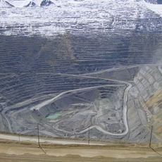
Bingham Canyon Mine
United States of America

Bingham Canyon Mine

3.9 mi
America First Field
United States of America

America First Field

10.8 mi
The Living Planet Aquarium
United States of America

The Living Planet Aquarium

9.7 mi
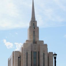
Oquirrh Mountain Utah Temple
United States of America

Oquirrh Mountain Utah Temple

5.3 mi
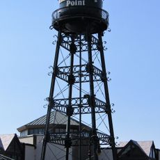
Thanksgiving Point
United States of America

Thanksgiving Point

10.7 mi
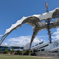
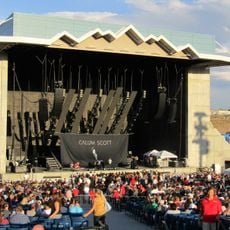
USANA Amphitheatre
United States of America

USANA Amphitheatre

10.2 mi
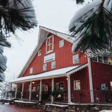
Gardner Village
United States of America

Gardner Village

10.5 mi
Boondocks Fun Center
United States of America

Boondocks Fun Center

9.9 mi
Bingham Canyon Reclamation Project
United States of America

Bingham Canyon Reclamation Project

4 mi
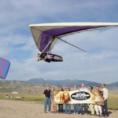
Flight Park State Recreation Area
United States of America

Flight Park State Recreation Area

10 mi
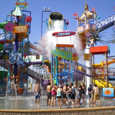
Cowabunga Bay Water Park
United States of America

Cowabunga Bay Water Park

9.9 mi
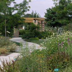
Conservation Garden Park
United States of America

Conservation Garden Park

9.9 mi
Waterfall Splash Pad
United States of America

Waterfall Splash Pad

6.3 mi
Gardner Mill
United States of America

Gardner Mill

10.4 mi
Riverton Elementary School
United States of America

Riverton Elementary School

7.2 mi
Camp Williams Hostess House/Officers' Club
United States of America

Camp Williams Hostess House/Officers' Club

9.8 mi
Ashton Gardens at Thanksgiving Point
United States of America

Ashton Gardens at Thanksgiving Point

10.3 mi
Draper-Steadman House
United States of America

Draper-Steadman House

7.3 mi
West Jordan Ward Meetinghouse
United States of America

West Jordan Ward Meetinghouse

10.3 mi
Fitzgerald House
United States of America

Fitzgerald House

11.1 mi
Draper City Splashpad
United States of America

Draper City Splashpad

10.1 mi
Mary Ellen Parmley House
United States of America

Mary Ellen Parmley House

11 mi
Nielsen-Sanderson House
United States of America

Nielsen-Sanderson House

11.1 mi
Copperton Community Methodist Church
United States of America

Copperton Community Methodist Church

3.6 mi
Utah Bit and Mine
United States of America

Utah Bit and Mine

11.1 mi
Megaplex 17 at Jordan Commons
United States of America

Megaplex 17 at Jordan Commons

10.8 mi
Utah Veterans Cemetery and Memorial Park
United States of America

Utah Veterans Cemetery and Memorial Park

9.1 mi
Jordan High School
United States of America

Jordan High School

10.9 mi
Show the full map
Reviews
Share your experience

No review yet

Discussions
Start a discussion...

No discussion yet

« Butterfield Canyon - Canyon in Salt Lake County, United States » is provided by Around Us (aroundus.com). Images and texts are derived from Wikimedia project under a Creative Commons license. You are allowed to copy, distribute, and modify copies of this page, under the conditions set by the license, as long as this note is clearly visible.

Discover hidden gems everywhere you go!

From secret cafés to breathtaking viewpoints, skip the crowded tourist spots and find places that match your style. Our app makes it easy with voice search, smart filtering, route optimization, and insider tips from travelers worldwide. Download now for the complete mobile experience.
Around Us App Screenshot

A unique approach to discovering new places

Le Figaro

All the places worth exploring

France Info

A tailor-made excursion in just a few clicks

20 Minutes

Around Us
Travel Guide & Maps
Download

Send to your phone

QR Code
1

Open the camera app on your mobile.

2

Point at the QR code with your camera. A notification will appear.

3

Tap the notification to open the link.