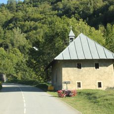
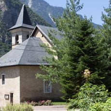
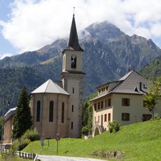
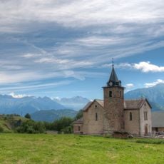
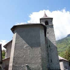
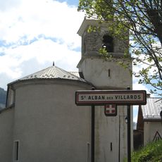
Villarembert, Mountain commune in Savoie department, France.
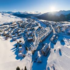
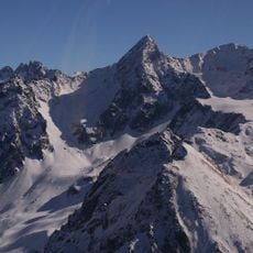
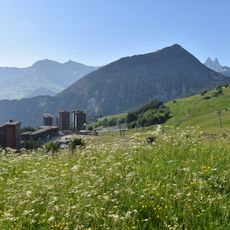
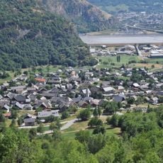
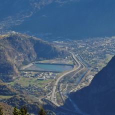
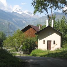
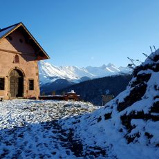
Villarembert sits at an elevation of 1,638 meters in the French Alps, offering expansive views over mountainous terrain and serving as a gateway to winter sports facilities and hiking trails throughout the surrounding valleys.
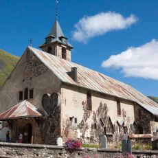
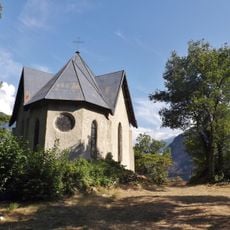
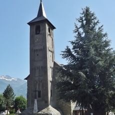
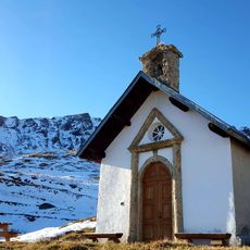
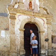
The commune developed as part of the traditional alpine farming communities in the Maurienne valley, evolving from agricultural and forestry activities into a modern tourist destination during the 20th century expansion of ski resorts.
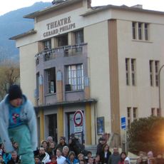
Local festivals celebrate alpine traditions with traditional Savoyard cuisine including raclette and tartiflette, while community events showcase regional music, crafts, and seasonal celebrations that connect residents to their mountain heritage.
Accessible via regional roads from Saint-Jean-de-Maurienne, the commune provides essential services through its town hall, offers various accommodations from hotels to holiday rentals, and maintains infrastructure supporting both residents and seasonal visitors.
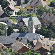
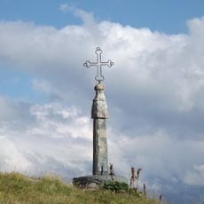
The village can be viewed from Les Trois Croix viewpoint, providing a panoramic perspective that has become a popular photography location for capturing the alpine landscape and traditional Savoyard architecture below.
Location: Savoie
Location: arrondissement of Saint-Jean-de-Maurienne
Elevation above the sea: 1,638 m
Shares border with: Fontcouverte-la-Toussuire, Saint-Jean-d'Arves, Saint-Sorlin-d'Arves
Address: 73300 Villarembert, France
Phone: +33479567465
Email: accueil@mairie-villarembert.fr
Website: http://villarembert-le-corbier.fr
GPS coordinates: 45.24583,6.27944
Latest update: August 20, 2025 12:02
Les Sybelles
1.3 km
Saint-Jean-de-Maurienne Cathedral
6.3 km
Lac de Grand Maison
12.9 km
Rocher Blanc
13.5 km
Église Saint-Saturnin de Saint-Sorlin-d'Arves
4.7 km
Tour du Châtel
9 km
Mont Charvin
3.2 km
Chapelle de la Balme
9.3 km
Chapelle Notre-Dame-de-la-Visitation du Villard
1.5 km
Église Notre-Dame de Saint-Jean-de-Maurienne
6.2 km
Église de Sainte-Marie-de-Cuines
10.6 km
Église Saint-Michel de Pontamafrey
8.8 km
Église Saint-Martin d'Hermillon
8.9 km
Église de l'Assomption de Fontcouverte-la Toussuire
1.9 km
Chapelle de l’Immaculée Conception de Pontamafrey
8.7 km
Bassin de Longefan
7.7 km
Église Saint-Colomban de Saint-Colomban-des-Villards
6.8 km
Église Saint-Pierre-aux-Liens de Villarembert
183 m
Église de Saint-Étienne-de-Cuines
10.9 km
Église Saint-Alban de Saint-Alban-des-Villards
7.5 km
Théâtre Gérard Philipe
6.3 km
Bassin de compensation de Longefan
7.8 km
Cloître de la cathédrale Saint-Jean-Baptiste de Saint-Jean-de-Maurienne
6.3 km
Chapelle Notre-Dame des Chambeaux
4.6 km
Chapelle Notre-Dame des Prés Plans
6.5 km
Chapelle du Bonvoisin
9.8 km
Croix du col de la Croix de Fer
6.3 km
Chapelle Saint-Roch-et-Saint-Sébastien de Jarrier
5.4 kmVisited this place? Tap the stars to rate it and share your experience / photos with the community! Try now! You can cancel it anytime.
Discover hidden gems everywhere you go!
From secret cafés to breathtaking viewpoints, skip the crowded tourist spots and find places that match your style. Our app makes it easy with voice search, smart filtering, route optimization, and insider tips from travelers worldwide. Download now for the complete mobile experience.
A unique approach to discovering new places❞
— Le Figaro
All the places worth exploring❞
— France Info
A tailor-made excursion in just a few clicks❞
— 20 Minutes