Pimachiowin Aki, UNESCO World Heritage Site in Manitoba and Ontario, Canada
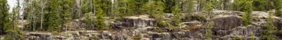
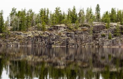
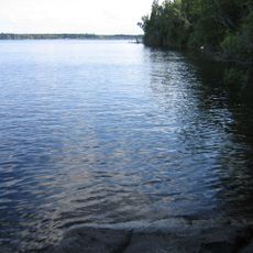
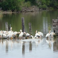
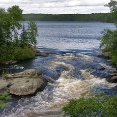
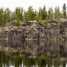
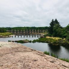
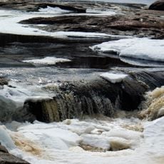
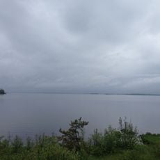
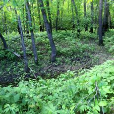
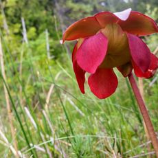
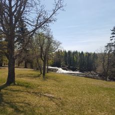
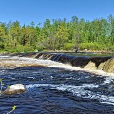
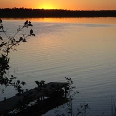
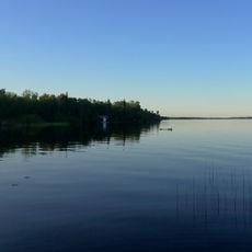
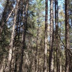
Pimachiowin Aki is a protected area complex spanning approximately 29,000 square kilometers across Manitoba and Ontario with thousands of lakes, rivers, and forests. The landscape contains diverse animal and plant life distributed across varied habitats ranging from wetlands to dense woodlands.
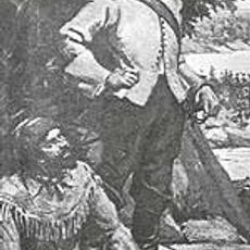
Human populations inhabited this region between 9,000 and 7,000 years ago, as evidenced by numerous archaeological discoveries from that period. The continuity of settlement across millennia reflects the enduring connection between the Anishinaabeg and this territory.
The Anishinaabeg communities have shaped this region for thousands of years, managing resources through seasonal rotation and careful stewardship. Visitors can observe how these practices continue to influence how people live with and care for the land today.
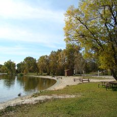
The area is accessible via all-season roads to places like Bloodvein River, scheduled flights to remote communities, or winter ice roads depending on the time of year. Plan your route based on your destination within the complex and the season, as access options vary throughout the year.
The region is home to rare animals such as woodland caribou and wolverines found in few other northern areas of Canada. These species depend on large, continuous forest habitats and undisturbed ecosystems that are protected here.
The community of curious travelers
AroundUs brings together thousands of curated places, local tips, and hidden gems, enriched daily by 60,000 contributors worldwide.