
KE Bullock Waterfowl Management Area, park in Wayne County, Utah, United States of America

Fishlake National Forest
58.3 km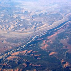
Waterpocket Fold
33.4 km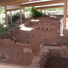
Anasazi State Park Museum
44.3 km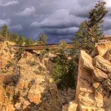
Hell's Backbone Road
36.6 km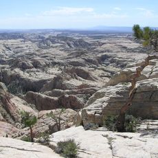
Box-Death Hollow Wilderness
45.7 km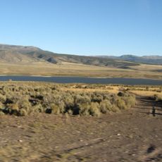
Otter Creek Reservoir
44.1 km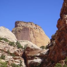
Golden Throne
32.7 km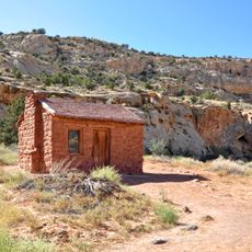
Elijah Cutler Behunin Cabin
32.8 km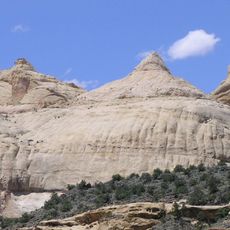
Navajo Dome
27.7 km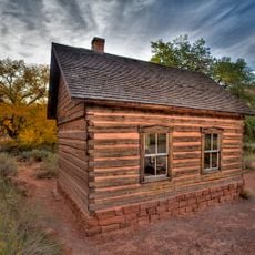
Fruita Schoolhouse
26 km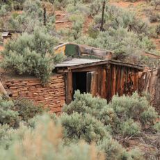
Hanks' Dugouts
34.3 km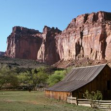
Fruita Rural Historic District
26.1 km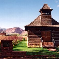
Torrey Log Church-Schoolhouse
11 km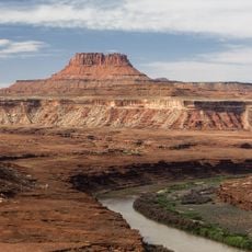
Ekker Butte
49.3 km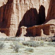
Cathedral Valley Corral
27 km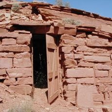
Civilian Conservation Corps Powder Magazine
25.8 km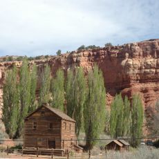
Hans Peter Nielson Gristmill
3.3 km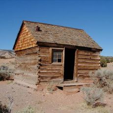
Lesley Morrell Line Cabin and Corral
26.1 km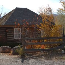
Charles W. and Leah Lee House
10.4 km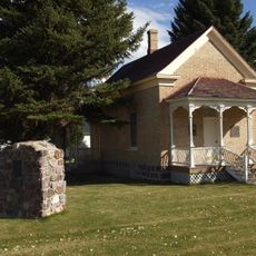
Loa Tithing Office
14.5 km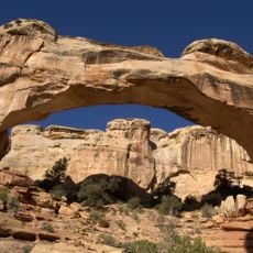
Hickman Natural Bridge
27.2 km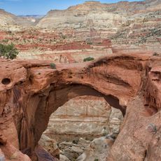
Cassidys Arch
28.2 km
Fruita Ranger Station
24.7 km
Pioneer Register
34.9 km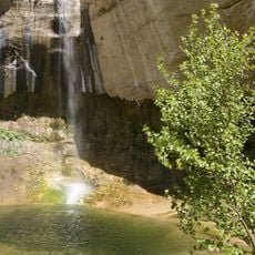
Upper Calf Creek Falls
50.2 km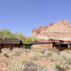
Capitol Reef National Park Visitor Center
24.8 km
Hickman Bridge Trail
27.8 km
Cohab Canyon
27.6 kmReviews
Visited this place? Tap the stars to rate it and share your experience / photos with the community! Try now! You can cancel it anytime.
Discover hidden gems everywhere you go!
From secret cafés to breathtaking viewpoints, skip the crowded tourist spots and find places that match your style. Our app makes it easy with voice search, smart filtering, route optimization, and insider tips from travelers worldwide. Download now for the complete mobile experience.

A unique approach to discovering new places❞
— Le Figaro
All the places worth exploring❞
— France Info
A tailor-made excursion in just a few clicks❞
— 20 Minutes