La Sal Mountains, Mountain range in Grand County, Utah, US
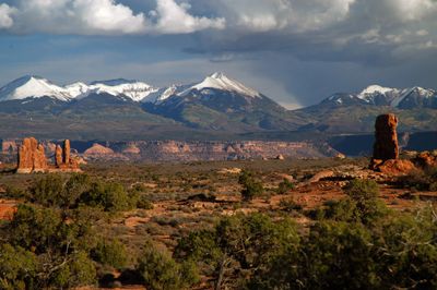
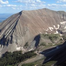
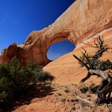
La Sal Mountains is a range spanning Grand and San Juan counties, featuring three distinct clusters of peaks separated by natural passes. The highest point, Mount Peale, rises to 12,721 feet (3,877 m) and sits within the Manti-La Sal National Forest.
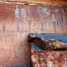
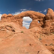
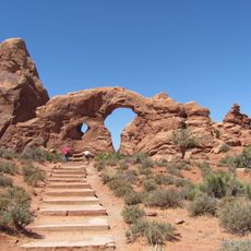
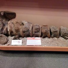
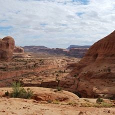
Spanish explorers named these peaks Sierra La Sal after the salt deposits they found, using them as a landmark on trade routes between Santa Fe and Los Angeles. The geological formation itself came from magma intrusions occurring 25 to 28 million years ago.
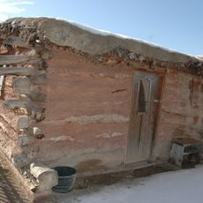
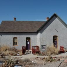
Local herders continue to move cattle and sheep through the mountains with the seasons, a practice that shapes how the landscape looks and is used today. This working relationship with the land remains visible throughout the region.
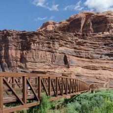
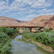
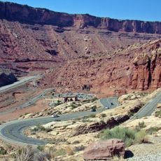
Access the range via the La Sal Mountain Loop Road, which connects multiple trailheads and links to US Highway 191 and the Colorado River Scenic Byway. Conditions vary with elevation and season, so visitors should prepare for changing weather in the higher zones.
The range consists of igneous rock from ancient magma, and visitors can still observe salt deposits scattered across certain areas that originally inspired its Spanish name. These visible salt traces offer a direct connection to both the geological and human history of the place.
The community of curious travelers
AroundUs brings together thousands of curated places, local tips, and hidden gems, enriched daily by 60,000 contributors worldwide.