
Rio Communities, human settlement in Valencia County, New Mexico, United States of America
Location: Valencia County
Inception: 2013
GPS coordinates: 34.64194,-106.72694
Latest update: March 17, 2025 04:12
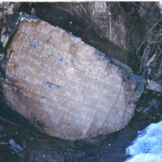
Los Lunas Decalogue Stone
29.4 km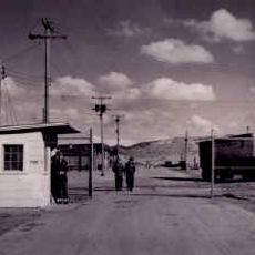
Sandia Base
47.2 km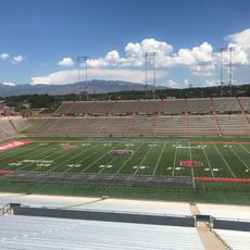
University Stadium
48.2 km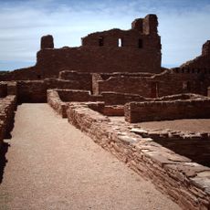
Abo
38.6 km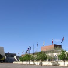
National Hispanic Cultural Center
47.9 km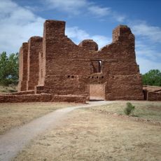
Quarai
39.9 km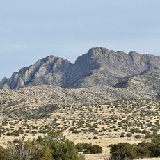
Ladron Peak
40.1 km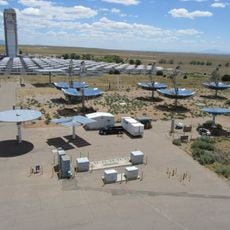
National Solar Thermal Test Facility
41.1 km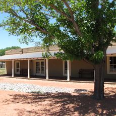
Gutiérrez-Hubbell House
38.8 km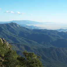
Manzano Wilderness
27.2 km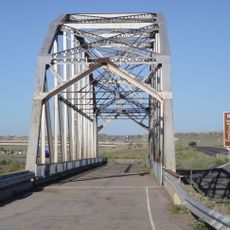
Rio Puerco Bridge
47.8 km
Space Development and Test Wing
47.4 km
Pottery Mound
18.3 km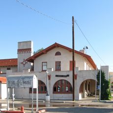
Belen Harvey House
4.2 km
Albuquerque Veterans Administration Medical Center
47.8 km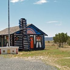
Rancho Bonito
47.2 km
Charles W. Lewis Building
48.3 km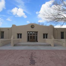
West San Jose School
47.9 km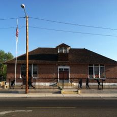
Old Armijo School
46.4 km
Superintendent's House, Atlantic & Pacific Railroad
48.7 km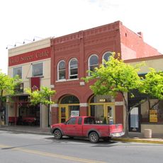
Hope Building
48.6 km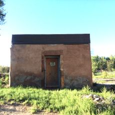
Tome Jail
11 km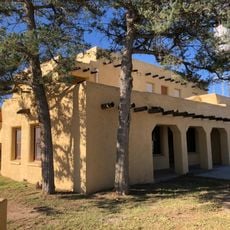
Belen City Hall
4.7 km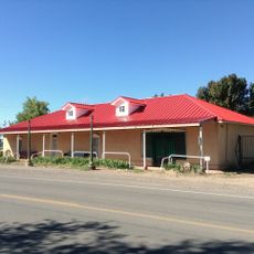
Miguel E. Baca House
7.8 km
El Cerro Tome Site
12.8 km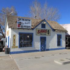
Otero's 66 Service
18.5 km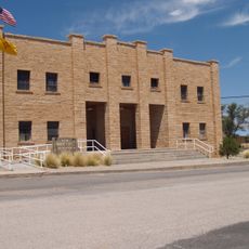
Mountainair Municipal Auditorium
46.4 km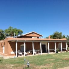
Felipe Chaves House
5.1 kmReviews
Visited this place? Tap the stars to rate it and share your experience / photos with the community! Try now! You can cancel it anytime.
Discover hidden gems everywhere you go!
From secret cafés to breathtaking viewpoints, skip the crowded tourist spots and find places that match your style. Our app makes it easy with voice search, smart filtering, route optimization, and insider tips from travelers worldwide. Download now for the complete mobile experience.

A unique approach to discovering new places❞
— Le Figaro
All the places worth exploring❞
— France Info
A tailor-made excursion in just a few clicks❞
— 20 Minutes