
Cañon Pintado, أخدود في مقاطعة ريو أريبا، الولايات المتحدة
Location: Rio Arriba County
GPS coordinates: 36.91806,-107.27806
Latest update: March 18, 2025 14:40

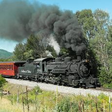
Cumbres and Toltec Scenic Railroad
61.9 km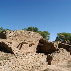
Aztec Ruins National Monument
64.9 km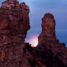
Chimney Rock National Monument
29.8 km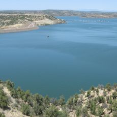
Navajo Lake
30.8 km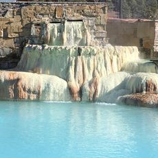
Pagosa hot springs
45 km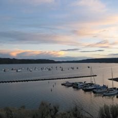
Navajo State Park
15.4 km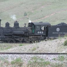
D&RGW 463
62.3 km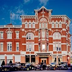
Strater Hotel
66.5 km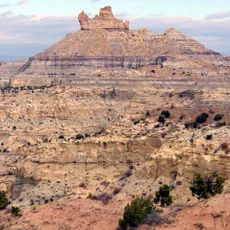
Angel Peak Scenic Area
66.3 km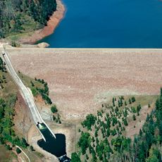
Lemon Dam
61.8 km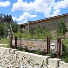
Southern Ute Cultural Center and Museum
39.8 km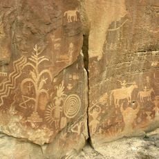
Crow Canyon Archaeological District
51.2 km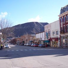
Main Avenue Historic District
66.5 km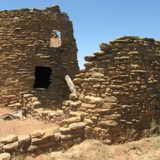
Frances Canyon Ruin
26 km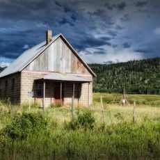
Debs School
58.8 km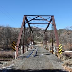
Labo Del Rio Bridge
20.9 km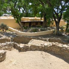
Aztec Ruins Administration Building-Museum
65 km
Samuel Sanchez House
66.2 km
American Hotel
65.1 km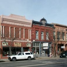
Aztec Main Street Historic District
65 km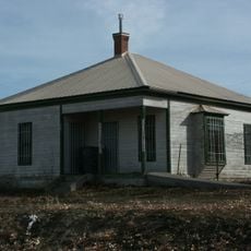
D.C. Ball House
64.1 km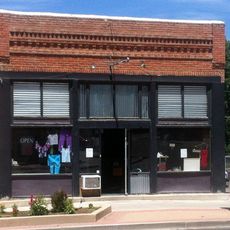
Aztec Motor Company Building
64.9 km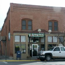
Engleman-Thomas Building
65.4 km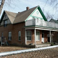
Church Avenue-Lovers Lane Historic District
64.7 km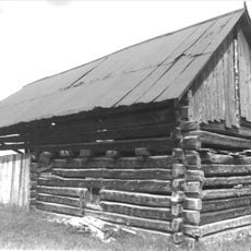
Gilbert Martinez Barn
66 km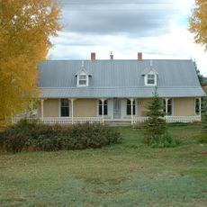
Sanchez-March House
66.2 km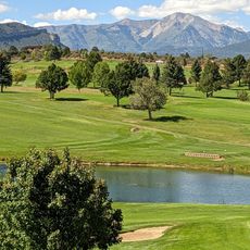
Hillcrest Golf Club
65.9 km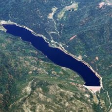
Lemon Reservoir
63.6 kmReviews
Visited this place? Tap the stars to rate it and share your experience / photos with the community! Try now! You can cancel it anytime.
Discover hidden gems everywhere you go!
From secret cafés to breathtaking viewpoints, skip the crowded tourist spots and find places that match your style. Our app makes it easy with voice search, smart filtering, route optimization, and insider tips from travelers worldwide. Download now for the complete mobile experience.

A unique approach to discovering new places❞
— Le Figaro
All the places worth exploring❞
— France Info
A tailor-made excursion in just a few clicks❞
— 20 Minutes