Millsite State Park, State park in Emery County, United States
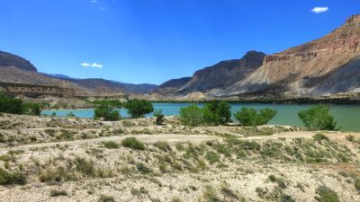
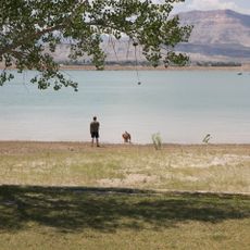
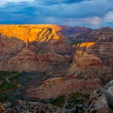
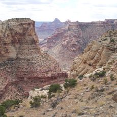
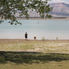
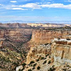
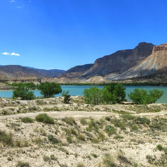
Millsite State Park occupies the south end of Millsite Reservoir at the mouth of Ferron Canyon in western Emery County, about 5 km west of Ferron. The reservoir, part of the Ferron Watershed Project, covers roughly 1.76 km² and is backed by cliffs rising some 600 m above its shores. An 18-hole public golf course adjoins the park.
The reservoir is part of the Ferron Watershed Project, a multipurpose water containment completed in 1970 through the combined efforts of several agencies. An earlier dam at the site served a flourmill, which gave the reservoir its name. The state park was created in 1971, the same year the current dam was built on Ferron Creek.
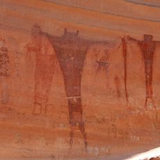
The reservoir's name comes from a flourmill dam that stood at the site before the current dam; the water is now part of the Ferron Watershed Project. Northwest of the park, sandstone walls hold Native American rock art and pioneer graffiti that visitors can look for.
The site offers about two dozen campsites with water and electric hookups, plus boat launch, fishing, and golf options. Most facilities are accessible year-round, though warm months bring the most comfortable conditions.
The reservoir takes its name from a flourmill dam that stood on Ferron Creek before the current structure. The Ferron Watershed Project dam was completed in 1970, and the state park was created the same year. Northwest of the park, sandstone walls hold Native American rock art and pioneer graffiti.
The community of curious travelers
AroundUs brings together thousands of curated places, local tips, and hidden gems, enriched daily by 94,589 contributors worldwide.