Chest opened
+${chestReward.xp} XP
Explorer
NOUVEAU ×${chestReward.collectible.quantity}
tapez pour fermer
Chest locked

Open chests in the app

Around Us is built for your phone — chests unlock when you walk, explore and capture nearby places.

Enable Location

We need your location to show you interesting places around you

Discover nearby places

Find interesting locations and hidden gems around you

Precise directions

Get accurate directions and distances to places

Your location is never shared with other users. It's only used when you tap the location button.

Helper

Log in to your account

Start exploring — it's free

Trusted by 72,876 travelers worldwide

Continue with Google
Continue with Apple
or

We will send you a code to connect

By continuing, you accept our Terms and Conditions and our Privacy Policy

Check your inbox

We've sent a pincode in your inbox. Please enter the code below.

Discussion Reviews 1 Photos
19.4k Popularity

Helper, city in Carbon County, Utah, United States

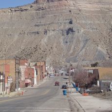
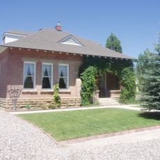
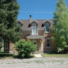
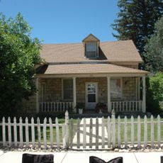
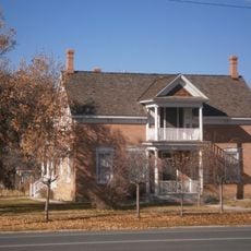
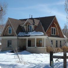
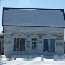
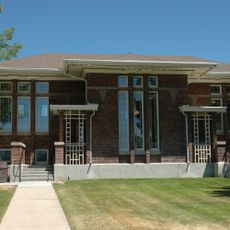
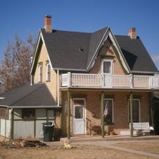
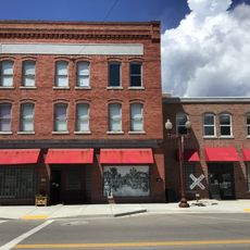
Helper is a small town in Carbon County, Utah, situated at the base of the Book Cliffs in central mountains. Its downtown features restored brick buildings, murals, and a network of shops, cafes, and art galleries along Main Street.

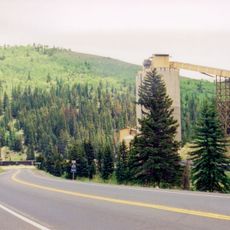
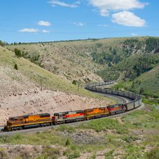
Helper emerged in the early 1900s as a major coal mining and railroad hub. Miners and rail workers from various countries arrived to work, shaping the town's growth for many decades.

The town's name comes from helper engines that assisted trains climbing steep mountain grades. This connection to railroads remains central to how residents understand and present their community today.

The town is easy to explore using a self-guided walking route with online resources listing historic buildings and landmarks. Visitors can stroll Main Street on foot, stop at local cafes, and use the River Walk Trail for outdoor experiences.

Big John, an 18-foot-tall fiberglass statue of a coal miner, was built in 1964 and named after the popular country song 'Big Bad John'. It stands at the town's edge and serves as a favorite photo spot for visitors.

The community of curious travelers

AroundUs brings together thousands of curated places, local tips, and hidden gems, enriched daily by 60,000 contributors worldwide.

Start exploring
Location
Inception
1881
Elevation above the sea
1,773 m
GPS coordinates
39.69417,-110.85750
Latest update
February 16, 2026 22:40
Around this place
Cedar Mountain Formation
United States of America

Cedar Mountain Formation

49.6 km
Ninemile Canyon
United States of America

Ninemile Canyon

31.9 km
Scofield Reservoir
United States of America

Scofield Reservoir

24.7 km
Huntington State Park
United States of America

Huntington State Park

40.3 km
USU Eastern Prehistoric Museum
United States of America

USU Eastern Prehistoric Museum

11.4 km
Electric Lake
United States of America

Electric Lake

32.6 km
Helper Commercial District
United States of America

Helper Commercial District

1.1 km
Fairview City Hall
United States of America

Fairview City Hall

50.3 km
Fairview Tithing Office/Bishop's Storehouse
United States of America

Fairview Tithing Office/Bishop's Storehouse

50.5 km
Mount Pleasant High School Mechanical Arts Building
United States of America

Mount Pleasant High School Mechanical Arts Building

53.7 km
James Anderson House
United States of America

James Anderson House

50 km
Niels P. Hjort House
United States of America

Niels P. Hjort House

50.4 km
James B. Staker House
United States of America

James B. Staker House

53.7 km
Lars Peter Larson House
United States of America

Lars Peter Larson House

38.7 km
Leander Lemmon House
United States of America

Leander Lemmon House

42 km
Cleveland-Lloyd Dinosaur Quarry
United States of America

Cleveland-Lloyd Dinosaur Quarry

43.8 km
Mount Pleasant Carnegie Library
United States of America

Mount Pleasant Carnegie Library

53.7 km
Ole Arilsen House
United States of America

Ole Arilsen House

53.4 km
The Helper Museum
United States of America

The Helper Museum

1.3 km
Fairview Museum of History and Art
United States of America

Fairview Museum of History and Art

50.3 km
Argyle Canyon
United States of America

Argyle Canyon

44.6 km
Huntington Lake
United States of America

Huntington Lake

39.5 km
Emma Park
United States of America

Emma Park

13 km
Scofield State Park
United States of America

Scofield State Park

26.6 km
Soldier Summit Cemetery
United States of America

Soldier Summit Cemetery

31.9 km
Eccles Canyon
United States of America

Eccles Canyon

25.6 km
Price Canyon
United States of America

Price Canyon

1.9 km
Huntington Reservoir
United States of America

Huntington Reservoir

37.1 km
Show the full map
Reviews
Share your experience

No review yet

Discussions
Start a discussion...

No discussion yet

« Helper - city in Carbon County, Utah, United States » is provided by Around Us (aroundus.com). Images and texts are derived from Wikimedia project under a Creative Commons license. You are allowed to copy, distribute, and modify copies of this page, under the conditions set by the license, as long as this note is clearly visible.

Discover hidden gems everywhere you go!

From secret cafés to breathtaking viewpoints, skip the crowded tourist spots and find places that match your style. Our app makes it easy with voice search, smart filtering, route optimization, and insider tips from travelers worldwide. Download now for the complete mobile experience.

Around Us App Screenshot

A unique approach to discovering new places

Le Figaro

All the places worth exploring

France Info

A tailor-made excursion in just a few clicks

20 Minutes

Around Us
Travel Guide & Maps
Download

Send to your phone

QR Code
1

Open the camera app on your mobile.

2

Point at the QR code with your camera. A notification will appear.

3

Tap the notification to open the link.