Palisade, town in Mesa County, Colorado, United States
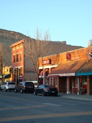
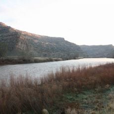
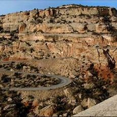
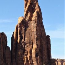
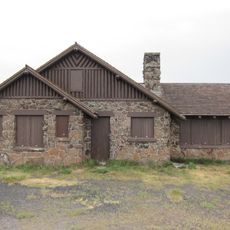
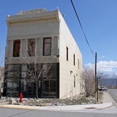
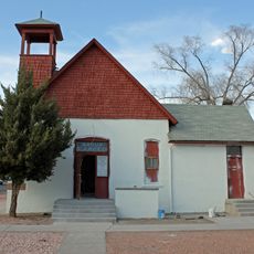
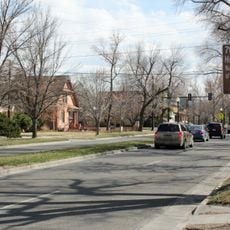
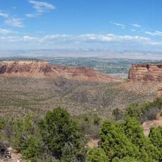
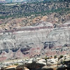
Palisade is a small town in Mesa County, Colorado, situated along the Colorado River amid orchards and vineyards. The townscape features historic wooden and stone buildings, while steep cliff formations of Mancos Shale rise dramatically in the background.
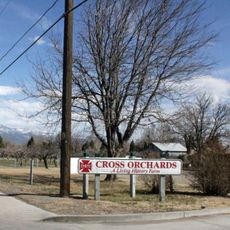
Native peoples called the Ute lived on this land for centuries before white settlers arrived in the 1880s. These newcomers recognized the land's potential for fruit farming and planted peach, apple, and grape trees, establishing the region's agricultural character.
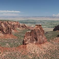
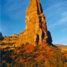
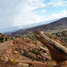
Palisade draws its name from the dramatic cliff formations that rise behind the town. The community shows a deep connection to fruit growing, visible in the many orchards where visitors can pick their own fruit and purchase goods directly from local farmers at markets and shops.
The best time to visit is during the harvest season in summer and fall when orchards are ripe and festivals occur regularly. Comfortable footwear is recommended since the terrain is hilly and many orchards and trails are best explored on foot.
Palisade Peaches are statewide known for their distinctive sweetness, created by the high elevation and day-night climate where cool nights preserve the fruit's flavor. The annual Peach Festival in August celebrates this tradition spanning over a century.
The community of curious travelers
AroundUs brings together thousands of curated places, local tips, and hidden gems, enriched daily by 60,000 contributors worldwide.