Cow Canyon, canyon in Garfield County, Colorado, United States
Location: Garfield County
Elevation above the sea: 2,089 m
GPS coordinates: 39.63720,-108.94677
Latest update: March 4, 2025 18:23
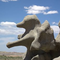
Fantasy Canyon
60.3 km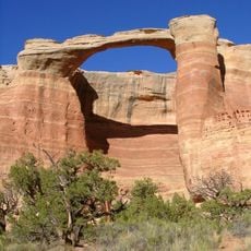
Rattlesnake Canyon
53.1 km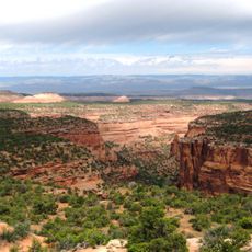
Black Ridge Canyons Wilderness
59.2 km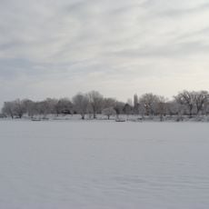
Highline Lake State Park
41.9 km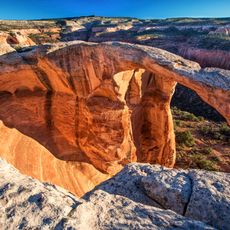
McInnis Canyons National Conservation Area
50.6 km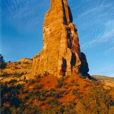
Independence Monument
63.3 km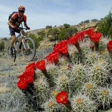
Kokopelli's Trail
52.2 km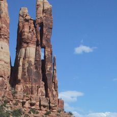
Mee Canyon
53.3 km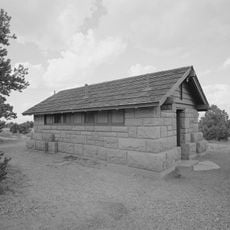
Saddlehorn Comfort Station
62 km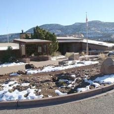
Colorado National Monument Visitor Center Complex
62.4 km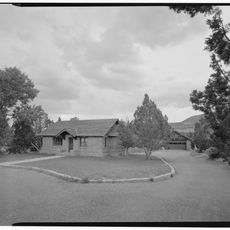
Saddlehorn Caretaker's House and Garage
62.4 km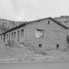
Saddlehorn Utility Area Historic District
62.2 km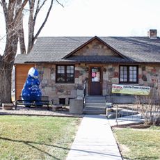
Fruita Museum
57.4 km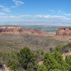
Monument Canyon
63.5 km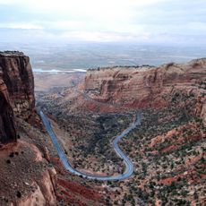
Fruita Canyon
60.8 km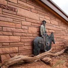
Saddlehorn Visitor Center
62.4 km
Bookcliff Shelter
62.3 km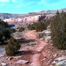
Horsethief Canyon
56.6 km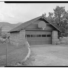
Saddlehorn Caretaker's Garage
62.4 km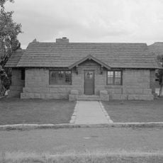
Saddlehorn Caretaker's Residence
62.4 km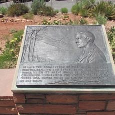
Mather Plaque in Colorado National Monument
62.4 km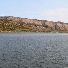
Kenney Reservoir
57.1 km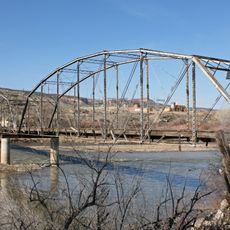
Fruita Bridge
58.7 km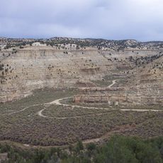
Cooper Canyon
30.2 km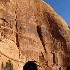
West Lower Tunnel
61.1 km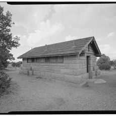
Saddlehorn Campground
62 km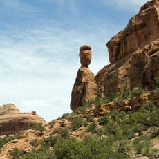
Balanced Rock
61.7 km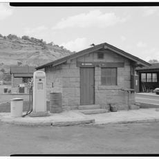
Saddlehorn Oil Storage Building
62.3 kmReviews
Visited this place? Tap the stars to rate it and share your experience / photos with the community! Try now! You can cancel it anytime.
Discover hidden gems everywhere you go!
From secret cafés to breathtaking viewpoints, skip the crowded tourist spots and find places that match your style. Our app makes it easy with voice search, smart filtering, route optimization, and insider tips from travelers worldwide. Download now for the complete mobile experience.

A unique approach to discovering new places❞
— Le Figaro
All the places worth exploring❞
— France Info
A tailor-made excursion in just a few clicks❞
— 20 Minutes
