Chest opened
+${chestReward.xp} XP
Explorer
NOUVEAU ×${chestReward.collectible.quantity}
tapez pour fermer
Chest locked

Open chests in the app

Around Us is built for your phone — chests unlock when you walk, explore and capture nearby places.

Enable Location

We need your location to show you interesting places around you

Discover nearby places

Find interesting locations and hidden gems around you

Precise directions

Get accurate directions and distances to places

Your location is never shared with other users. It's only used when you tap the location button.

Eagle County Regional Airport

Log in to your account

Start exploring — it's free

Trusted by 72,988 travelers worldwide

Continue with Google
Continue with Apple
or

We will send you a code to connect

By continuing, you accept our Terms and Conditions and our Privacy Policy

Check your inbox

We've sent a pincode in your inbox. Please enter the code below.

Eagle County Regional Airport
Discussion Reviews 2 Photos
34.2k Popularity

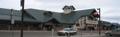
Eagle County Regional Airport, Regional airport in Gypsum, Colorado, United States.

Eagle County Regional Airport is a commercial airport in Gypsum, Colorado, serving the surrounding mountain valleys and regions. The facility operates with a long runway and terminal buildings to handle regular flight operations.

The airport began when land was secured for aviation in 1911, then became officially operational decades later. Since then, it has grown into a facility connecting the mountain region to the outside world.

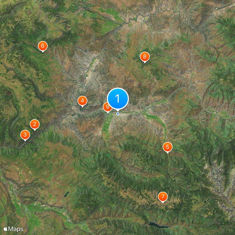
The airport serves as a main entry point for people traveling to the mountain valleys and outdoor areas nearby. It shapes how visitors experience their arrival and departure from this region.

The airport sits at a high elevation that can affect flying conditions, so travelers should prepare for circumstances linked to mountain terrain. Approach procedures can be challenging because the surrounding landscape features mountains and valleys.

The facility is studied by professionals for its difficult approach procedures created by the surrounding mountain formations. These particular conditions make every flight an interesting challenge for pilots.

The community of curious travelers

AroundUs brings together thousands of curated places, local tips, and hidden gems, enriched daily by 60,000 contributors worldwide.

Start exploring
Location
Elevation above the sea
1,995.5 m
Operator
Eagle County, Colorado
GPS coordinates
39.64250,-106.91778
Latest update
December 19, 2025 22:56
Around this place
Hanging Lake
United States of America

Hanging Lake

23.9 km
Glenwood Canyon
United States of America

Glenwood Canyon

27.2 km
Dotsero
United States of America

Dotsero

10.3 km
Sylvan Lake State Park
United States of America

Sylvan Lake State Park

17.8 km
United States of America

Sweetwater Lake State Park

27.4 km
United States of America

Red Table Mountain

28 km
United States of America

Castle Peak

16.3 km
First Evangelical Lutheran Church
United States of America

First Evangelical Lutheran Church

3 km
United States of America

Middle Lake Trail

28.3 km
United States of America

Aspen Historical Society

10.7 km
United States of America

Consolidated Reservoir

23.5 km
United States of America

Hells Gate

17.4 km
United States of America

Windy Point

28.5 km
United States of America

HUT observatory

17.8 km
United States of America

LEDE Reservoir

23 km
United States of America

Hangmans Rock

26.9 km
United States of America

Seven Castles

28.6 km
United States of America

Spring Park Reservoir

27 km
United States of America

Eagle Ranch Golf Club

9 km
United States of America

Red Sky Ranch Golf Club- Greg Norman Course

19.8 km
United States of America

Red Sky Ranch Golf Club- Tom Fazio Course

21 km
United States of America

Eagle Springs Golf Club

23.2 km
United States of America

Gypsum Creek Golf Club

3.5 km
United States of America

Adam's Rib Ranch

14.6 km
United States of America

Centennial Stage

7.6 km
United States of America

Hardscrabble Saddle

7.4 km
United States of America

Hardscrabble Saddle

7.6 km
United States of America

An old wrecked car that must have slid down from Red Table Mountain Road. Unknown date, make, and model.

25.3 km
Show the full map
Reviews
Share your experience

No review yet

Discussions
Start a discussion...

No discussion yet

« Eagle County Regional Airport - Regional airport in Gypsum, Colorado, United States » is provided by Around Us (aroundus.com). Images and texts are derived from Wikimedia project under a Creative Commons license. You are allowed to copy, distribute, and modify copies of this page, under the conditions set by the license, as long as this note is clearly visible.

Discover hidden gems everywhere you go!

From secret cafés to breathtaking viewpoints, skip the crowded tourist spots and find places that match your style. Our app makes it easy with voice search, smart filtering, route optimization, and insider tips from travelers worldwide. Download now for the complete mobile experience.

Around Us App Screenshot

A unique approach to discovering new places

Le Figaro

All the places worth exploring

France Info

A tailor-made excursion in just a few clicks

20 Minutes

Around Us
Travel Guide & Maps
Download

Send to your phone

QR Code
1

Open the camera app on your mobile.

2

Point at the QR code with your camera. A notification will appear.

3

Tap the notification to open the link.