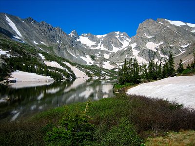
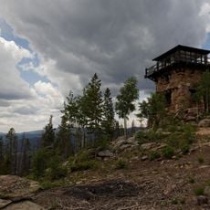
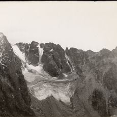
Indian Peaks Wilderness, Protected wilderness area in Colorado, United States
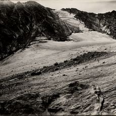
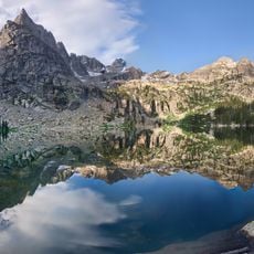
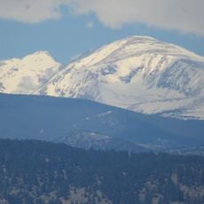
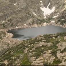
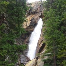
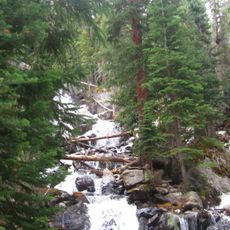
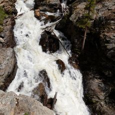
Indian Peaks Wilderness is a protected mountainous area in Colorado spanning over 73,000 acres with 50 lakes and elevations ranging from 8,400 to 13,500 feet. The terrain spreads across three distinct life zones, offering varied landscapes from alpine meadows to rocky summits.
The area was designated as a protected wilderness in 1978 under President Jimmy Carter's legislation. This action secured the land's natural resources and established strict conservation guidelines for its future management.
The peaks were named by botanist Ellsworth Bethel in the early 1900s after Native American tribes such as Apache, Shoshoni, Navajo, and Arapaho. This naming reflects a historical connection to the land and honors the indigenous peoples who once inhabited the region.
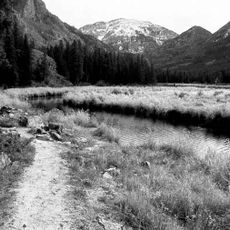
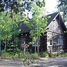
The wilderness can be accessed through several trailheads including Brainard Lake Recreation Area, Hessie Trailhead, and 4th of July Trailhead. A network of roughly 28 trails totaling around 133 miles offers options for different skill levels and fitness abilities.
The area attracts over 150,000 visitors during the summer months between Memorial Day and Labor Day. This makes it one of the most frequented wilderness areas in the nation, despite its remote mountain location.
The community of curious travelers
AroundUs brings together thousands of curated places, local tips, and hidden gems, enriched daily by 60,000 contributors worldwide.