Chest opened
+${chestReward.xp} XP
Explorer
NOUVEAU ×${chestReward.collectible.quantity}
tapez pour fermer

See the monuments around you in AR Open chests in the app

Around Us is built for your phone — point your camera at the streets and discover the monuments and places around you in augmented reality. Around Us is built for your phone — chests unlock when you walk, explore and capture nearby places.

•

Enable Location

We need your location to show you interesting places around you

Discover nearby places

Find interesting locations and hidden gems around you

Precise directions

Get accurate directions and distances to places

Your location is never shared with other users. It's only used when you tap the location button.

Switzerland Trail

Log in to your account

Start exploring — it's free

Trusted by 89,456 travelers worldwide

Continue with Google
Continue with Apple
or

We will send you a code to connect

By continuing, you accept our Terms and Conditions and our Privacy Policy

Check your inbox

We've sent a pincode in your inbox. Please enter the code below.

Discussion Reviews 1 Photos
6.3k Popularity

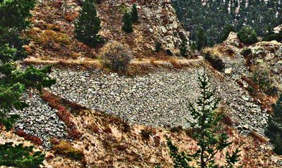
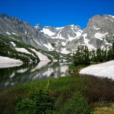
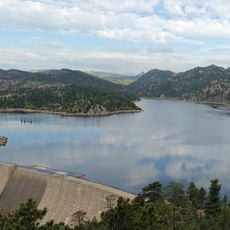
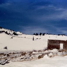
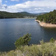
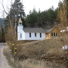
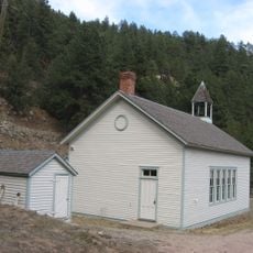
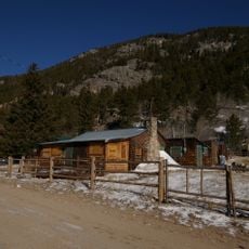
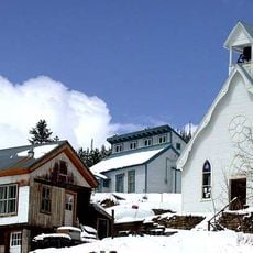
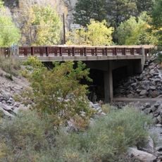
Switzerland Trail, Historic trail in Boulder County, Colorado.

Audio guide · About one minute
Preparing your audio guide… The audio guide could not be loaded, please retry.Sign in to listen to the audio guide

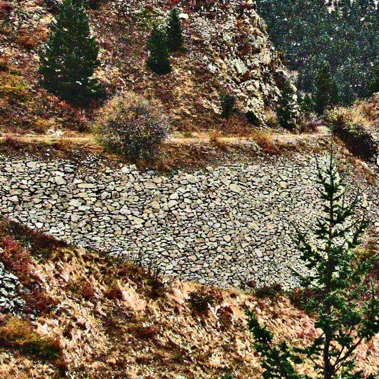
Switzerland Trail is a former railroad route in Boulder County that stretches for about 14 miles through the mountains. The path runs between 7,700 and 8,700 feet in elevation and provides views across the Front Range and surrounding ridges.

The route was built in the late 1800s as a narrow-gauge railroad to connect mining settlements like Gold Hill and Nederland. It carried materials and people between these mountain communities along what became the Denver, Boulder and Western Railway.

The National Register of Historic Places recognizes this trail as part of the Denver, Boulder, and Western Railway Historic District, preserving Colorado's mining legacy.

The path has several access points between Sawmill Road near Jamestown and Sugarloaf Mountain Road, offering parking for different users. Hikers, mountain bikers, and vehicles can use the gentle slope, making different activities possible throughout the route.

Four-wheel drive vehicles, mountain bikes, and hikers share this former railroad path, which maintains its original gentle grade through mountainous terrain.

The community of curious travelers

AroundUs brings together thousands of curated places, local tips, and hidden gems, enriched daily by 60,000 contributors worldwide.

Start exploring
Location
GPS coordinates
40.02220,-105.46300
Latest update
September 17, 2026 00:30
Reviews
Share your experience

No review yet

Discussions
Start a discussion...

No discussion yet

« Switzerland Trail - Historic trail in Boulder County, Colorado » is provided by Around Us (aroundus.com). Images and texts are derived from Wikimedia project under a Creative Commons license. You are allowed to copy, distribute, and modify copies of this page, under the conditions set by the license, as long as this note is clearly visible.

Discover hidden gems everywhere you go!

From secret cafés to breathtaking viewpoints, skip the crowded tourist spots and find places that match your style. Our app makes it easy with voice search, smart filtering, route optimization, and insider tips from travelers worldwide. Download now for the complete mobile experience.

Around Us App Screenshot
❝

A unique approach to discovering new places❞

— Le Figaro

❝

All the places worth exploring❞

— France Info

❝

A tailor-made excursion in just a few clicks❞

— 20 Minutes

Around Us
Travel Guide & Maps
Download

Send to your phone

QR Code
1

Open the camera app on your mobile.

2

Point at the QR code with your camera. A notification will appear.

3

Tap the notification to open the link.