Lone Eagle Peak, Mountain summit in Indian Peaks Wilderness, Grand County, Colorado, US
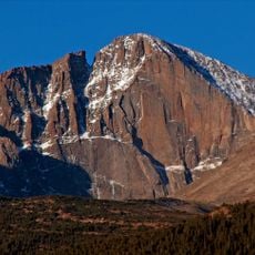
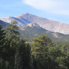
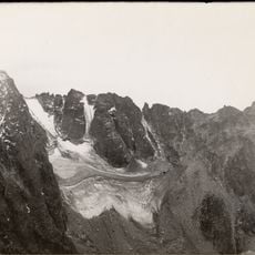
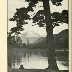
Lone Eagle Peak is a mountain summit in the Indian Peaks Wilderness that rises with steep granite flanks forming a distinctive pointed shape. The rock formations create a striking outline visible from trails and valleys across the surrounding landscape.
Lone Eagle Peak was named for aviator Charles Lindbergh, nicknamed the Lone Eagle. Earlier names included Lindbergh Peak and Mount Lindbergh; the current name was recorded in 1961. The first ascent was made in 1927 by brothers Joe and Paul Stettner via the ledge now called the Stettner Ledger.
The name honours Charles Lindbergh, nicknamed the "Lone Eagle" after his solo transatlantic flight. The peak also appears in records as Lindbergh Peak and Mount Lindbergh before the 1961 form was adopted.
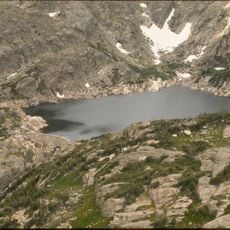
Lone Eagle Peak lies 12.4 miles (19.9 km) northeast by north of Fraser in Grand County, within the Indian Peaks Wilderness of Arapaho National Forest. No trail reaches the summit: the easiest route is rated Class 4 on the Yosemite Decimal System, and most lines are low fifth class with sections no harder than Class 4. The hardest, on the north face from the Crater Lake camp, reaches 5.7. Conditions change without warning, so plan and train accordingly.
The easiest route on Lone Eagle Peak is rated Class 4 on the Yosemite Decimal System, and the hardest, on the north face from the Crater Lake camp, reaches 5.7. Joe Stettner made the first solo ascent in 1936, nine years after climbing the peak with his brother Paul.
The community of curious travelers
AroundUs brings together thousands of curated places, local tips, and hidden gems, enriched daily by 94,354 contributors worldwide.