Enable Location

We need your location to show you interesting places around you

Discover nearby places

Find interesting locations and hidden gems around you

Precise directions

Get accurate directions and distances to places

Your location is never shared with other users. It's only used when you tap the location button.

Wheat Ridge

Log in to your account

Start exploring — it's free

Trusted by 62,214 travelers worldwide

Continue with Google
Continue with Apple
or

We will send you a code to connect

By continuing, you accept our Terms and Conditions and our Privacy Policy

Check your inbox

We've sent a pincode in your inbox. Please enter the code below.

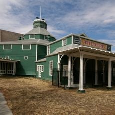
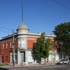
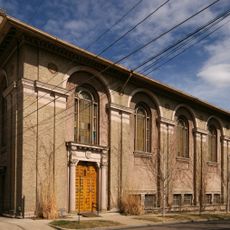
Wheat Ridge, Residential city in Jefferson County, Colorado

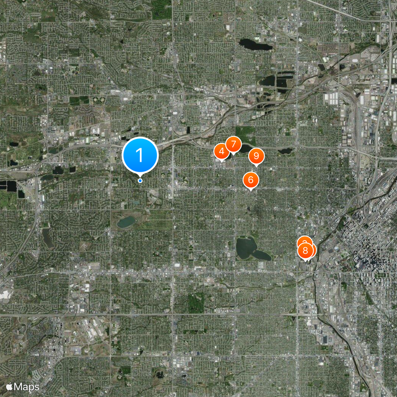
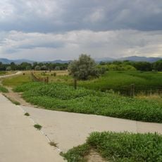
Wheat Ridge is a residential city in Jefferson County, Colorado, situated between Denver and the Rocky Mountains with a land area spanning approximately 10 square miles. Waterways including Clear Creek and smaller reservoirs run through the city boundaries.

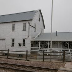
The settlement began as a stopping point for miners during the 1859 Gold Rush and gradually transformed into agricultural land where farmers worked the fertile soil. Over time it evolved from a transient mining-related place into an established farming community.

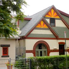
The name Carnation City reflects a past when local nurseries supplied cut flowers to markets across the region for many decades. This horticultural heritage continues to shape how residents think about their community.

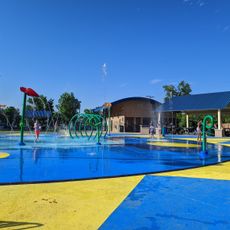
The city offers year-round recreation facilities where visitors can explore outdoor activities and community programs. Well-developed streets make it easy to navigate by car or bicycle.

The city was once a global leader in carnation production, with greenhouses that dominated flower markets for decades. This intensive cultivation made it an economic center that left a lasting mark on local identity.

The community of curious travelers

AroundUs brings together thousands of curated places, local tips, and hidden gems, enriched daily by 60,000 contributors worldwide.

Start exploring
Location
Inception
1859
GPS coordinates
39.77139,-105.09611
Latest update
December 20, 2025 00:12
Around this place
Empower Field at Mile High
United States of America

Empower Field at Mile High

7.2 km
Mile High Stadium
United States of America

Mile High Stadium

7 km
Lakeside Amusement Park
United States of America

Lakeside Amusement Park

3.2 km
United States of America

Elitch Gardens

4.3 km
Elitch Theatre
United States of America

Elitch Theatre

4.3 km
Cyclone
United States of America

Cyclone

3.8 km
Colorado Sports Hall of Fame
United States of America

Colorado Sports Hall of Fame

7.1 km
Oriental Theater
United States of America

Oriental Theater

4.5 km
Arvada Center for the Arts and Humanities
United States of America

Arvada Center for the Arts and Humanities

5.9 km
Crown Hill Park
United States of America

Crown Hill Park

1.3 km
Tower of Memories
United States of America

Tower of Memories

1.5 km
Pioneer Sod House
United States of America

Pioneer Sod House

2.7 km
GB Fish & Chips
United States of America

GB Fish & Chips

3.7 km
Jefferson County Public Library
United States of America

Jefferson County Public Library

3.1 km
National Science Foundation Ice Core Facility
United States of America

National Science Foundation Ice Core Facility

6.9 km
United States of America

Lakewood Cultural Center

7.1 km
Olde Town Arvada
United States of America

Olde Town Arvada

3.6 km
Tower of Jewels
United States of America

Tower of Jewels

3.7 km
St. Dominic's Church
United States of America

St. Dominic's Church

6.2 km
Arvada Flour Mill
United States of America

Arvada Flour Mill

3.3 km
Highlands Masonic Lodge
United States of America

Highlands Masonic Lodge

6.2 km
All Saints Episcopal Church
United States of America

All Saints Episcopal Church

7.1 km
Frederick W. Neef House
United States of America

Frederick W. Neef House

6.4 km
St. Elizabeth's Retreat Chapel
United States of America

St. Elizabeth's Retreat Chapel

6.4 km
Romeo Block
United States of America

Romeo Block

7.1 km
基督教科学派第四教会 (丹佛)
United States of America

基督教科学派第四教会 (丹佛)

6 km
Surfside Sprayer Park
United States of America

Surfside Sprayer Park

5.8 km
Highland Park Historic District
United States of America

Highland Park Historic District

6.9 km
Show the full map
« Wheat Ridge - Residential city in Jefferson County, Colorado » is provided by Around Us (aroundus.com). Images and texts are derived from Wikimedia project under a Creative Commons license. You are allowed to copy, distribute, and modify copies of this page, under the conditions set by the license, as long as this note is clearly visible.

Discover hidden gems everywhere you go!

From secret cafés to breathtaking viewpoints, skip the crowded tourist spots and find places that match your style. Our app makes it easy with voice search, smart filtering, route optimization, and insider tips from travelers worldwide. Download now for the complete mobile experience.

Around Us App Screenshot

A unique approach to discovering new places

Le Figaro

All the places worth exploring

France Info

A tailor-made excursion in just a few clicks

20 Minutes

Around Us
Travel Guide & Maps
Download

Send to your phone

QR Code
1

Open the camera app on your mobile.

2

Point at the QR code with your camera. A notification will appear.

3

Tap the notification to open the link.