Fort Collins, University city in Colorado, United States.
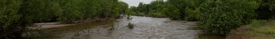
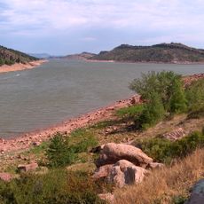
This university town stretches along the Cache La Poudre River at an elevation of 1525 meters near the foothills of the Rocky Mountains. Its street grid connects residential neighborhoods, the downtown core, and the campus across relatively flat terrain between riverbanks and foothills.
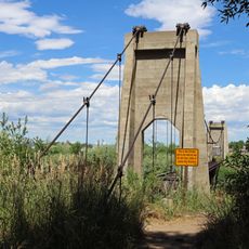
The settlement began in 1864 as a military post called Camp Collins to protect the overland mail route during the Indian wars. The later shift to farming and ranching led to permanent settlement with a rural economic base.
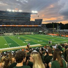
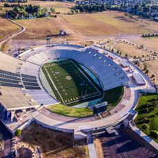
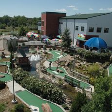
Colorado State University shapes daily life with public sporting events, exhibitions, and lectures open to visitors. Students and residents meet in cafés and breweries, giving the town a relaxed and approachable feel.
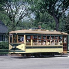
The municipal Transfort bus network connects residential areas, downtown districts, and campus locations through scheduled routes with designated transfer points. Summer brings mild temperatures that allow longer exploration on foot or by bicycle along paved trails.
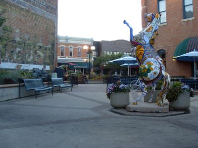
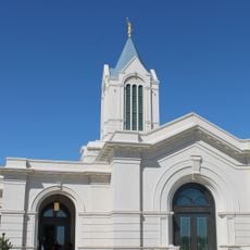
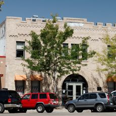
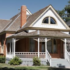
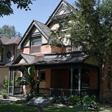
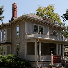
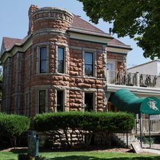
Strict building codes preserve 19th-century facade elements in the Old Town district, including original storefront windows and decorative trim. Some buildings still display cast iron cladding and hand-carved woodwork from the founding era.
Location: Larimer County
Inception: 1864
Elevation above the sea: 1,525 m
Shares border with: Wellington
Website: http://fcgov.com
GPS coordinates: 40.56667,-105.08333
Latest update: December 3, 2025 09:44
Canvas Stadium
522 m
Horsetooth Reservoir
6.3 km
Sonny Lubick Field at Hughes Stadium
5 km
The Blasting Room
3.3 km
Lory State Park
8.9 km
Boyd Lake State Park
15.1 km
Poudre River Public Library District
2.2 km
Fort Collins Colorado Temple
947 m
Fort Collins Museum and Discovery Science Center
2.2 km
Fort Fun
3.2 km
Rialto Theater
19.1 km
Fort Collins Public Library
2.2 km
Totally 80's Pizza
2 km
Greyrock Mountain Trail
22.3 km
Fort Collins Armory
2.5 km
Fort Collins Municipal Railway Birney Safety Streetcar No. 21
3.1 km
First Methodist Episcopal Church
18.1 km
Downtown Loveland Historic District
19.1 km
First United Presbyterian Church
19.1 km
William H. McCreery House
18.7 km
Pleasant Valley School
12.5 km
Mosman House
2.3 km
Montezuma Fuller House
1.8 km
Peter Anderson House
1.9 km
Devil's Backbone Open Space
18.2 km
Maude Stanfield Harter Borland House
18.8 km
McHugh–Andrews House
2.2 km
Henry K. and Mary E. Shaffer House
17.9 kmReviews
Visited this place? Tap the stars to rate it and share your experience / photos with the community! Try now! You can cancel it anytime.
Discover hidden gems everywhere you go!
From secret cafés to breathtaking viewpoints, skip the crowded tourist spots and find places that match your style. Our app makes it easy with voice search, smart filtering, route optimization, and insider tips from travelers worldwide. Download now for the complete mobile experience.
A unique approach to discovering new places❞
— Le Figaro
All the places worth exploring❞
— France Info
A tailor-made excursion in just a few clicks❞
— 20 Minutes