Chimney Rock National Historic Site, Natural landmark in Morrill County, United States.
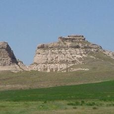
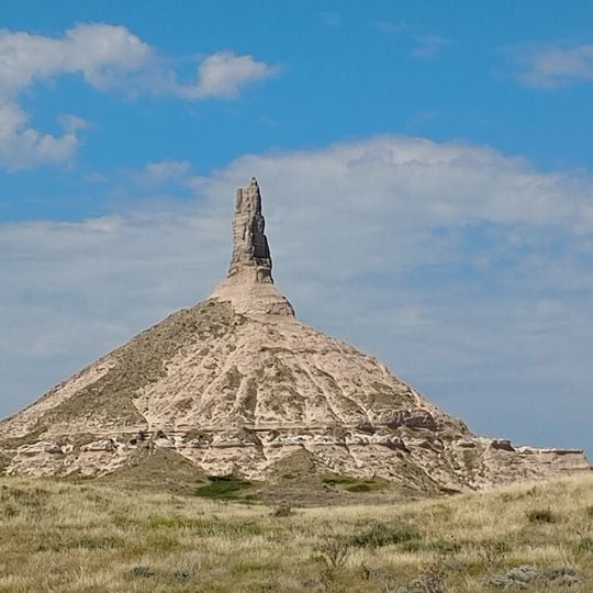
Chimney Rock National Historic Site is a rock formation in Morrill County, Nebraska, rising about 286 feet above the North Platte River valley. Its lower part is a broad, layered mound of Brule clay, volcanic ash, and Arikaree sandstone; from this base a tall, jagged spire of harder sandstone points upward, grooved and uneven.
Indian tribes knew the rock formation long before European explorers arrived, while Robert Stuart's expedition in 1813 recorded the first documented encounter by non-native people. In the following decades, it became the most important waypoint for thousands of settlers traveling the Oregon Trail along the river.
The name dates from the 1820s, when travelers compared the slender spire to a chimney and used it as a navigation point along the Oregon Trail. Emigrants followed the river and often spotted the rock needle days before reaching it, helping them gauge their progress on the long journey west.
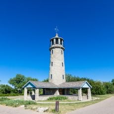
Chimney Rock National Historic Site is 20 miles (32 km) southeast of Scotts Bluff National Monument, on Nebraska Highway 92, and can be seen from U.S. Route 26. The Ethel and Christopher J. Abbot Visitor Center has exhibits, a film on westward migration, and a gift shop. The rock itself is not climbed; the soft Brule clay and Arikaree sandstone erode easily.
The spire once stood several meters taller before natural erosion and occasional lightning strikes wore away portions of the soft material. Cannon fire practice nearby during the 19th century also accelerated the decay of the upper layers.
The community of curious travelers
AroundUs brings together thousands of curated places, local tips, and hidden gems, enriched daily by 93,339 contributors worldwide.