Enable Location

We need your location to show you interesting places around you

Discover nearby places

Find interesting locations and hidden gems around you

Precise directions

Get accurate directions and distances to places

Your location is never shared with other users. It's only used when you tap the location button.

Box Butte County

Log in to your account

Start exploring — it's free

Trusted by 62,474 travelers worldwide

Continue with Google
Continue with Apple
or

We will send you a code to connect

By continuing, you accept our Terms and Conditions and our Privacy Policy

Check your inbox

We've sent a pincode in your inbox. Please enter the code below.

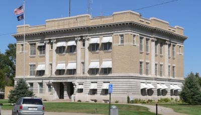
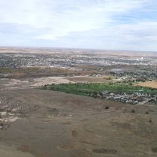
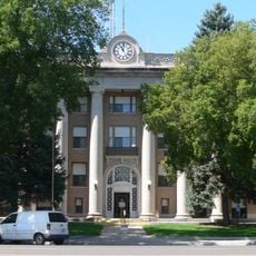
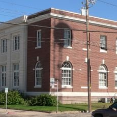
Box Butte County, County seat in western Nebraska, United States

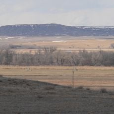
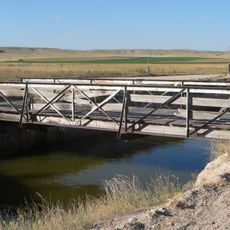
Box Butte County is an administrative region in western Nebraska that spreads across agricultural lands and includes the city of Alliance. Roads and highways run through the area to connect communities and link the region to surrounding territories.

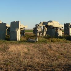
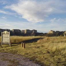
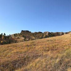
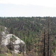
The region received official designation in 1886 and was named after a distinctive rock formation north of Alliance. This naming reflects the natural geography that defines the landscape of the area.

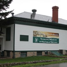
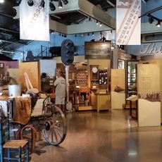
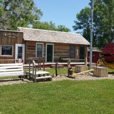
The region maintains strong connections to railroad heritage through local museums and community events that highlight how transportation shaped the area. This history remains visible in everyday life and the way people celebrate their past together.

The best way to explore the area is to use Nebraska Highways 2, 71, and 87 as well as US Route 385. These roads provide good connections and help visitors navigate to different locations throughout the region.

The area is registered on vehicle license plates with the number 65, which distinguishes cars from this region from other Nebraska counties. This numbering is part of the state-wide registration system.

The community of curious travelers

AroundUs brings together thousands of curated places, local tips, and hidden gems, enriched daily by 60,000 contributors worldwide.

Start exploring
Location
Inception
1886
Capital city
Alliance
Shares border with
Dawes County, Morrill County, Scotts Bluff County, Sioux County, Sheridan County
GPS coordinates
42.21000,-103.08000
Latest update
December 10, 2025 15:56
Around this place
Carhenge
United States of America

Carhenge

19.8 km
Fort Robinson
United States of America

Fort Robinson

60.2 km
Chadron State Park
United States of America

Chadron State Park

55.8 km
Pine Ridge National Recreation Area
United States of America

Pine Ridge National Recreation Area

46.7 km
Lake Minatare Lighthouse
United States of America

Lake Minatare Lighthouse

46.7 km
Camp Clarke Bridge Site
United States of America

Camp Clarke Bridge Site

60.5 km
Trailside Museum of Natural History at Fort Robinson State Park
United States of America

Trailside Museum of Natural History at Fort Robinson State Park

59.9 km
Mari Sandoz High Plains Heritage Center
United States of America

Mari Sandoz High Plains Heritage Center

68.2 km
City of Alliance Central Park Fountain
United States of America

City of Alliance Central Park Fountain

21 km
Fort Robinson State Park
United States of America

Fort Robinson State Park

62.8 km
Box Butte County Courthouse
United States of America

Box Butte County Courthouse

21.2 km
Northfield Park Arboretum
United States of America

Northfield Park Arboretum

64.1 km
Crites Hall
United States of America

Crites Hall

68.3 km
Morrill County Courthouse
United States of America

Morrill County Courthouse

60.4 km
Sparks Hall
United States of America

Sparks Hall

68.2 km
Scotts Bluff County Courthouse
United States of America

Scotts Bluff County Courthouse

64.2 km
Fontenelle Apartment House
United States of America

Fontenelle Apartment House

61.5 km
Fort Robinson Museum & History Center
United States of America

Fort Robinson Museum & History Center

60.1 km
Scottsbluff Carnegie Library
United States of America

Scottsbluff Carnegie Library

61.5 km
Marquis Opera House
United States of America

Marquis Opera House

61.7 km
US Post Office-Scottsbluff
United States of America

US Post Office-Scottsbluff

61.6 km
Alliance Knight Museum
United States of America

Alliance Knight Museum

21.2 km
Dobby's Frontier Town
United States of America

Dobby's Frontier Town

20.2 km
Alliance Theatre
United States of America

Alliance Theatre

21.2 km
Army Theatre
United States of America

Army Theatre

59.9 km
Midwest Theater
United States of America

Midwest Theater

61.7 km
Interstate Canal Bridge
United States of America

Interstate Canal Bridge

51.9 km
Agate Fossil Beds Visitor Center
United States of America

Agate Fossil Beds Visitor Center

58.9 km
Show the full map
« Box Butte County - County seat in western Nebraska, United States » is provided by Around Us (aroundus.com). Images and texts are derived from Wikimedia project under a Creative Commons license. You are allowed to copy, distribute, and modify copies of this page, under the conditions set by the license, as long as this note is clearly visible.

Discover hidden gems everywhere you go!

From secret cafés to breathtaking viewpoints, skip the crowded tourist spots and find places that match your style. Our app makes it easy with voice search, smart filtering, route optimization, and insider tips from travelers worldwide. Download now for the complete mobile experience.

Around Us App Screenshot

A unique approach to discovering new places

Le Figaro

All the places worth exploring

France Info

A tailor-made excursion in just a few clicks

20 Minutes

Around Us
Travel Guide & Maps
Download

Send to your phone

QR Code
1

Open the camera app on your mobile.

2

Point at the QR code with your camera. A notification will appear.

3

Tap the notification to open the link.