Boise River, Mountain river system in southwestern Idaho, United States.
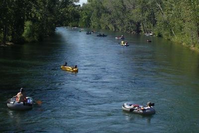
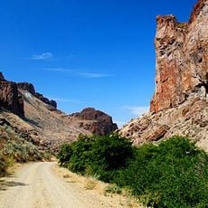
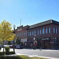
The Boise River is a mountain river system that flows approximately 102 miles from the Sawtooth Mountains through towns and farming areas until it joins the Snake River near Oregon. The waterway passes through a valley with woodlands and open areas where the city of Boise and smaller settlements have grown.
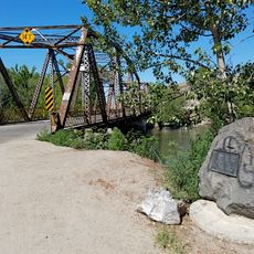
Early explorers and mapmakers in the 19th century originally called the river Reed's River, after a fur trapper who traveled through the area. French beaver hunters later gave it the name 'boisé' because of the thick forests that once covered the valley.
The river served as a central resource for the Nez Perce and other tribes who fished and settled along its banks for generations. Visitors walking the paths today can observe the heritage sites and learn how this waterway shaped the lives of those communities.
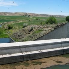
The river is controlled by three major dams that store water and support irrigation for surrounding farmland. Visitors should note that water levels vary significantly depending on the season and irrigation demands.
The name comes from the French word 'boisé' meaning wooded, yet today the valley is much drier and semi-desert-like, with trees remaining mainly in urban areas and near the water's edge. This shift shows how dams and water management have dramatically reshaped the natural environment.
The community of curious travelers
AroundUs brings together thousands of curated places, local tips, and hidden gems, enriched daily by 60,000 contributors worldwide.