Lake Missoula, Prehistoric glacial lake in Montana, United States
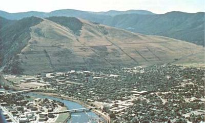
Lake Missoula was a prehistoric glacial lake in western Montana that reached enormous proportions during the last Ice Age. The landscape still bears visible traces of this period today, with ancient shorelines etched like stripes into the mountain slopes of the surrounding ranges.
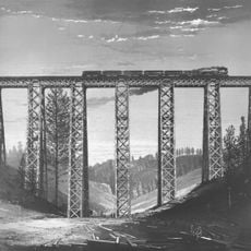
The lake formed roughly 15,000 years ago when massive ice dams repeatedly built up and collapsed. These collapses released enormous volumes of water that carved intense erosion patterns into the landscape to the east.
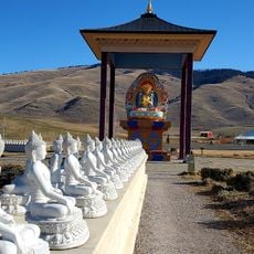
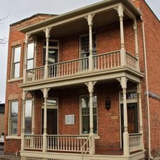
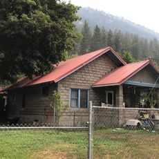
Native American tribes established settlements around the former lake basin, utilizing the rich resources left behind by glacial activity.
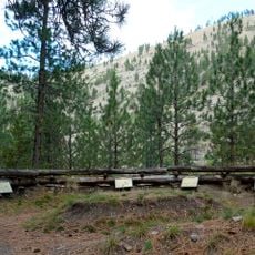
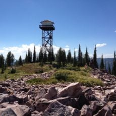
The area can be explored from various roadside viewpoints where you can see the ancient shorelines marked on the mountain slopes. The best time to visit is outside the winter months when mountain passes remain easily accessible.
The flooding history of this lake is connected to the shaping of a distant landscape: when the ice dams broke, the rushing water carried so much rock and sediment that it carved a maze of canyons far to the east into the plateau. This erosion pattern remains visible today as a distinct geological scar across Washington and Idaho.
The community of curious travelers
AroundUs brings together thousands of curated places, local tips, and hidden gems, enriched daily by 60,000 contributors worldwide.