Chest opened
+${chestReward.xp} XP
Explorer
NOUVEAU ×${chestReward.collectible.quantity}
tapez pour fermer

See the monuments around you in AR Open chests in the app

Around Us is built for your phone — point your camera at the streets and discover the monuments and places around you in augmented reality. Around Us is built for your phone — chests unlock when you walk, explore and capture nearby places.

Enable Location

We need your location to show you interesting places around you

Discover nearby places

Find interesting locations and hidden gems around you

Precise directions

Get accurate directions and distances to places

Your location is never shared with other users. It's only used when you tap the location button.

Log in to your account

Start exploring — it's free

Trusted by 84,903 travelers worldwide

Continue with Google
Continue with Apple
or

We will send you a code to connect

By continuing, you accept our Terms and Conditions and our Privacy Policy

Check your inbox

We've sent a pincode in your inbox. Please enter the code below.

Rogers Pass
Discussion Reviews Photo
14.9k Popularity

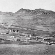
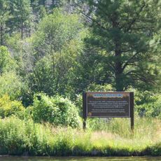
Rogers Pass, Mountain pass at Continental Divide in Montana, United States.

Rogers Pass is a mountain pass through the Continental Divide in western Montana. Highway 200 crosses it, connecting Great Falls and Missoula across high elevation terrain.

The Great Northern Railway named this pass after surveyor A.B. Rogers, who discovered the route through the mountains in 1887. This discovery opened a critical railroad passage across the Continental Divide for transportation and commerce.

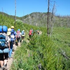
The pass marks the entrance to the Bob Marshall Wilderness Complex, protecting over 1.5 million acres of natural landscape in Montana.

Road conditions vary by season, with winter bringing snow and ice. Travelers should be prepared for rapid weather changes and plan their crossing carefully.

In January 1954, this location recorded one of the coldest temperatures ever measured in the country. The extreme cold demonstrates the harsh winter conditions that can occur at this elevation.

The community of curious travelers

AroundUs brings together thousands of curated places, local tips, and hidden gems, enriched daily by 60,000 contributors worldwide.
Start exploring
Location
GPS coordinates
47.07640,-112.37000
Latest update
August 30, 2026 13:11
Around this place
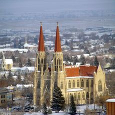
Cathedral of Saint Helena
United States of America

Cathedral of Saint Helena

37.2 mi
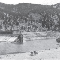
Hauser Dam
United States of America

Hauser Dam

31.4 mi
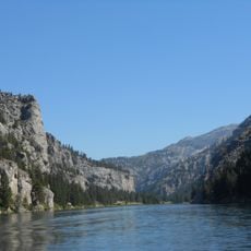
Gates of the Mountains Wilderness
United States of America

Gates of the Mountains Wilderness

23.2 mi
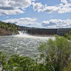
Holter Dam
United States of America

Holter Dam

18.2 mi
St. Peter's Mission Church and Cemetery
United States of America

St. Peter's Mission Church and Cemetery

26.2 mi
Scapegoat Wilderness
United States of America

Scapegoat Wilderness

26.1 mi
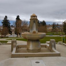
Confederate Memorial Fountain
United States of America

Confederate Memorial Fountain

36.9 mi
Temple Emanu-El
United States of America

Temple Emanu-El

37.3 mi
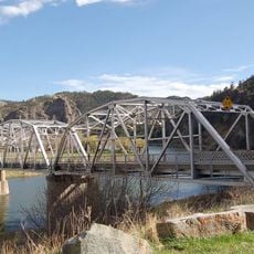
Hardy Bridge
United States of America

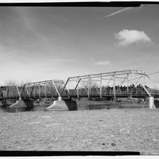
Hardy Bridge

26 mi
Tower Rock State Park
United States of America

Tower Rock State Park

27.5 mi
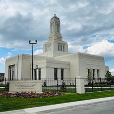
Helena Montana Temple
United States of America

Helena Montana Temple

34.8 mi
Black Sandy State Park
United States of America

Black Sandy State Park

32.3 mi
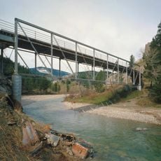
Dearborn River High Bridge
United States of America

Dearborn River High Bridge

14.2 mi
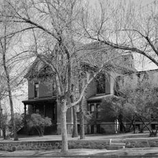
Hauser Mansion
United States of America

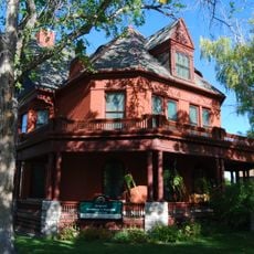
Hauser Mansion

36.7 mi
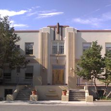
Lewis and Clark County Hospital Historic District
United States of America

Lewis and Clark County Hospital Historic District

35.2 mi
Porter Flats Apartments
United States of America

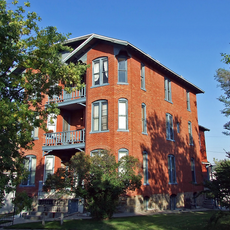
Porter Flats Apartments

37.4 mi
Olsen House
United States of America

Olsen House

36.9 mi
Silver King Ranch
United States of America

Silver King Ranch

9 mi
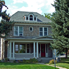
Morris Silverman House
United States of America

Morris Silverman House

37.3 mi
Great Northern Carousel
United States of America

Great Northern Carousel

36.7 mi
Robert and Elizabeth Fisk House
United States of America

Robert and Elizabeth Fisk House

37.4 mi
Young Women's Christian Association
United States of America

Young Women's Christian Association

36.6 mi
Mann Gulch Wildfire Historic District
United States of America

Mann Gulch Wildfire Historic District

25.5 mi
Wick-Seiler House
United States of America

Wick-Seiler House

37.4 mi
St John's Lutheran Church (Helena)
United States of America

St John's Lutheran Church (Helena)

37 mi
Former Montana Executive Mansion
United States of America

Former Montana Executive Mansion

37.4 mi
Latigo & Lace
United States of America

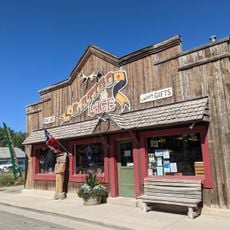
Latigo & Lace

28.9 mi
Craig Bridge
United States of America

Craig Bridge

19.2 mi
Show the full map
Reviews
Share your experience

No review yet

Discussions
Start a discussion...

No discussion yet

« Rogers Pass - Mountain pass at Continental Divide in Montana, United States » is provided by Around Us (aroundus.com). Images and texts are derived from Wikimedia project under a Creative Commons license. You are allowed to copy, distribute, and modify copies of this page, under the conditions set by the license, as long as this note is clearly visible.

Discover hidden gems everywhere you go!

From secret cafés to breathtaking viewpoints, skip the crowded tourist spots and find places that match your style. Our app makes it easy with voice search, smart filtering, route optimization, and insider tips from travelers worldwide. Download now for the complete mobile experience.
Around Us App Screenshot

A unique approach to discovering new places

Le Figaro

All the places worth exploring

France Info

A tailor-made excursion in just a few clicks

20 Minutes

Around Us
Travel Guide & Maps
Download

Send to your phone

QR Code
1

Open the camera app on your mobile.

2

Point at the QR code with your camera. A notification will appear.

3

Tap the notification to open the link.