Scapegoat Wilderness, Protected natural area in northwestern Montana, United States
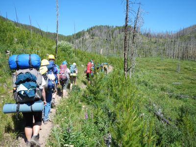
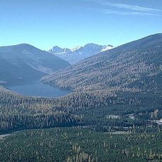
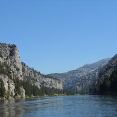
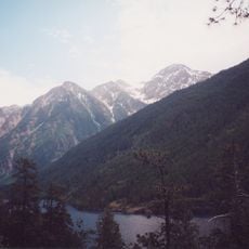
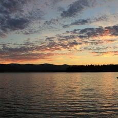
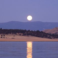
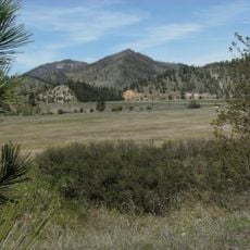
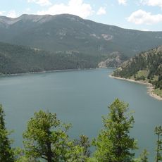
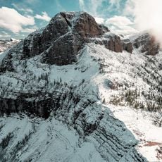
Scapegoat Wilderness is a protected natural area spanning two national forests with elevations between 5,000 and 9,400 feet. The landscape features mountain ridges, forested valleys, clear lakes, and numerous streams throughout its expanse.
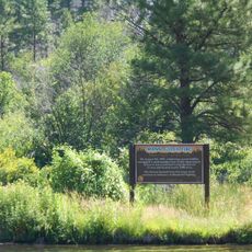
This area was established in 1972 as one of the first wilderness zones created through direct citizen involvement in the United States. The success of this designation demonstrated how communities could advocate for the protection of undisturbed lands.
This wilderness provides habitat for grizzly bears, wolves, mountain goats, and bighorn sheep that roam its forests and peaks. Visitors can encounter signs of these animals on trails and gain a sense of how wild and undisturbed the place remains.
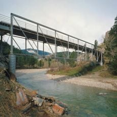
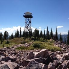
Visitors can explore the area on foot or horseback along numerous trails, or fish in lakes and streams. The best time to visit is late summer and early fall when higher elevations are snow-free and trails are most accessible.
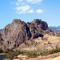
The limestone cliffs of Scapegoat Mountain continue the geological formation known as the Chinese Wall through the entire complex. These dramatic rock faces are visible from several trails and form one of the region's most striking visual features.
The community of curious travelers
AroundUs brings together thousands of curated places, local tips, and hidden gems, enriched daily by 60,000 contributors worldwide.