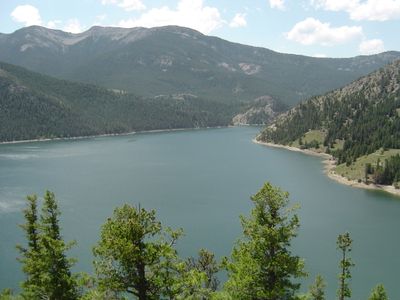
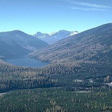
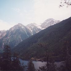
Gibson Reservoir, Reservoir in Lewis and Clark National Forest, Montana, United States
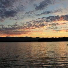
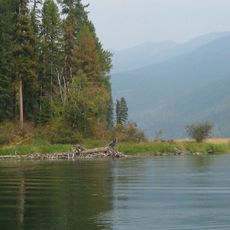
Gibson Reservoir is a man-made body of water in the Lewis and Clark National Forest that collects runoff from multiple streams. The shoreline winds through forested and mountainous terrain, creating varied sections where water meets different landscapes.
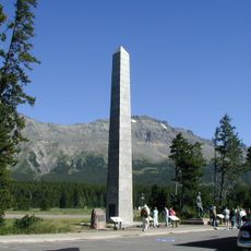
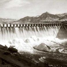
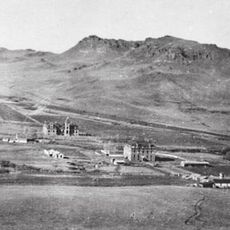
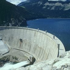
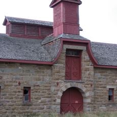
Construction of Gibson Dam took place between 1926 and 1929 to create storage for agricultural and community water needs. The project represented an important infrastructure development for the region during that era.
The reservoir draws fishing enthusiasts from surrounding communities who gather here to pursue their hobby and connect with the landscape. This activity remains central to how locals relate to the water and spend their recreational time.
The area is most accessible during warmer months when mountain roads are clear of snow and passable. Visitors should expect basic conditions and limited services in the surrounding region.
The water level rises significantly each spring when mountain snowmelt flows into the reservoir from two major river forks that merge upstream. This seasonal cycle creates a noticeable rhythm in water conditions that fishing communities plan their activities around.
The community of curious travelers
AroundUs brings together thousands of curated places, local tips, and hidden gems, enriched daily by 60,000 contributors worldwide.