Chest opened
+${chestReward.xp} XP
Explorer
NOUVEAU ×${chestReward.collectible.quantity}
tapez pour fermer

See the monuments around you in AR Open chests in the app

Around Us is built for your phone — point your camera at the streets and discover the monuments and places around you in augmented reality. Around Us is built for your phone — chests unlock when you walk, explore and capture nearby places.

Enable Location

We need your location to show you interesting places around you

Discover nearby places

Find interesting locations and hidden gems around you

Precise directions

Get accurate directions and distances to places

Your location is never shared with other users. It's only used when you tap the location button.

Great Bear Wilderness

Log in to your account

Start exploring — it's free

Trusted by 83,109 travelers worldwide

Continue with Google
Continue with Apple
or

We will send you a code to connect

By continuing, you accept our Terms and Conditions and our Privacy Policy

Check your inbox

We've sent a pincode in your inbox. Please enter the code below.

Discussion Reviews 1 Photos
11.9k Popularity

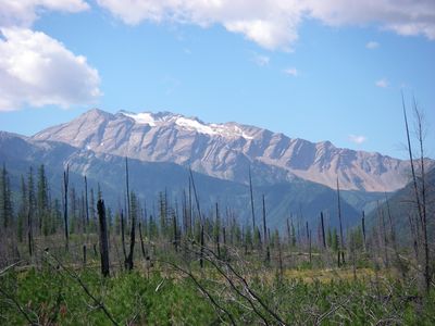
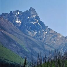
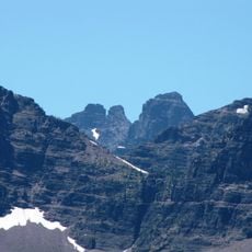
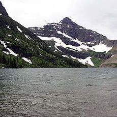
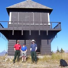
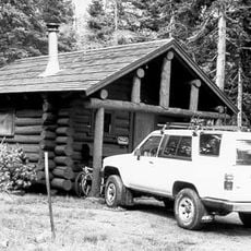
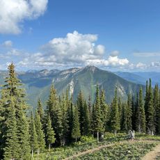
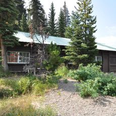
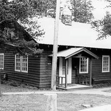
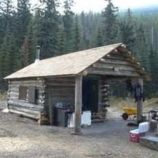
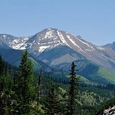
Great Bear Wilderness, Protected wilderness in Flathead National Forest, Montana.

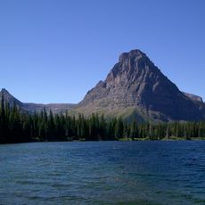
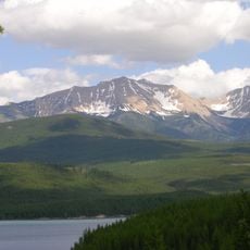
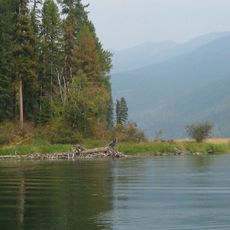
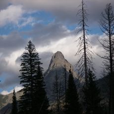
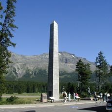
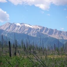
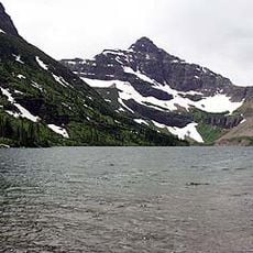
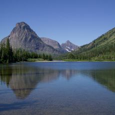
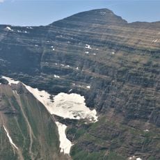
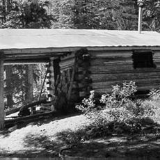
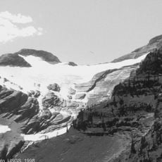
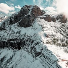
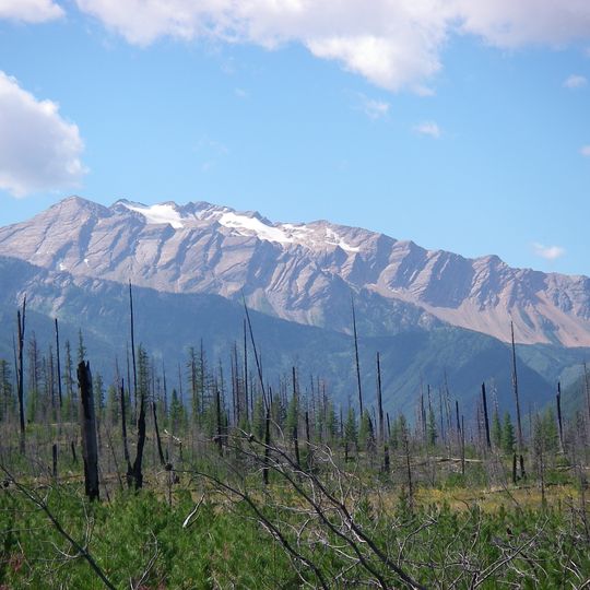
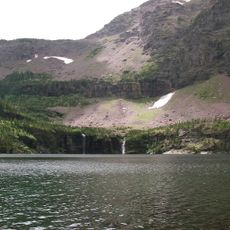
Great Bear Wilderness is a protected area in the Flathead National Forest that covers hundreds of thousands of acres of rugged terrain. Mountains, dense forest, and the Middle Fork Flathead River shape the landscape, with an extensive trail system running through the region.

Congress designated this wilderness in 1978, connecting it to Glacier National Park and making it part of a larger protected landscape. The designation recognized the area's wild character and ecological importance.

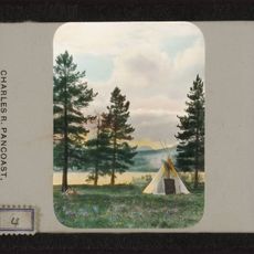
The land holds deep meaning for the Salish, Kootenai, Pend d'Oreille, and Blackfeet peoples who hunted and gathered here for generations. Their connection to this territory remains an important part of the region's identity.

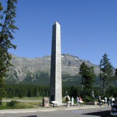
Access to the wilderness is available from U.S. Highway 2 and Montana Highway 83, with several trailheads located along these roads. Conditions are best from late spring through early fall when weather is milder and trails are more passable.

Schafer Meadows contains one of the few permitted airstrips in the Bob Marshall Wilderness Complex, a landing site that existed before the wilderness designation in 1978. This unusual facility allows limited aircraft access in an otherwise pristine area.

The community of curious travelers

AroundUs brings together thousands of curated places, local tips, and hidden gems, enriched daily by 60,000 contributors worldwide.
Start exploring
Location
Operator
United States Forest Service
GPS coordinates
48.19318,-113.53445
Latest update
August 12, 2026 11:38
Around this place
Marias Pass
United States of America

Marias Pass

19.3 km
Izaak Walton Inn
United States of America

Izaak Walton Inn

11.1 km
Two Medicine Store
United States of America

Two Medicine Store

34.7 km
Swan River National Wildlife Refuge
United States of America

Swan River National Wildlife Refuge

40.6 km
Mount Saint Nicholas
United States of America

Mount Saint Nicholas

22.1 km
Summit Mountain
United States of America

Summit Mountain

21.6 km
Stanton Glacier
United States of America

Stanton Glacier

23.9 km
Lone Walker Mountain
United States of America

Lone Walker Mountain

29.2 km
Lupfer Glacier
United States of America

Lupfer Glacier

31.7 km
United States of America

Sheep Mountain

17.2 km
Mount Doody
United States of America

Mount Doody

26.5 km
United States of America

Caper Peak

26.9 km
Cloudcroft Peaks
United States of America

Cloudcroft Peaks

26.9 km
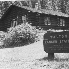
Walton Ranger Station Historic District
United States of America

Walton Ranger Station Historic District

10.3 km
United States of America

Brave Dog Mountain

19.2 km
Loneman Fire Lookout
United States of America

Loneman Fire Lookout

37.2 km
Two Medicine Campground Camptender's Cabin
United States of America

Two Medicine Campground Camptender's Cabin

35.1 km
Coal Creek Patrol Cabin
United States of America

Coal Creek Patrol Cabin

26.3 km
United States of America

Peril Peak

29.6 km
Nyack Ranger Station Historic District
United States of America

Nyack Ranger Station Historic District

33.7 km
Swanson Boathouse
United States of America

Swanson Boathouse

34.5 km
United States of America

Mount Phillips

31.7 km
East Glacier Ranger Station Historic District
United States of America

East Glacier Ranger Station Historic District

36.4 km
United States of America

Vigil Peak

25.1 km
Lower Park Creek Patrol Cabin
United States of America

Lower Park Creek Patrol Cabin

15.9 km
Wolftail Mountain
United States of America

Wolftail Mountain

28.1 km
Upper Park Creek Patrol Cabin
United States of America

Upper Park Creek Patrol Cabin

25.3 km
Grant Glacier
United States of America

Grant Glacier

21.7 km
Show the full map
Reviews
Share your experience

No review yet

Discussions
Start a discussion...

No discussion yet

« Great Bear Wilderness - Protected wilderness in Flathead National Forest, Montana » is provided by Around Us (aroundus.com). Images and texts are derived from Wikimedia project under a Creative Commons license. You are allowed to copy, distribute, and modify copies of this page, under the conditions set by the license, as long as this note is clearly visible.

Discover hidden gems everywhere you go!

From secret cafés to breathtaking viewpoints, skip the crowded tourist spots and find places that match your style. Our app makes it easy with voice search, smart filtering, route optimization, and insider tips from travelers worldwide. Download now for the complete mobile experience.
Around Us App Screenshot

A unique approach to discovering new places

Le Figaro

All the places worth exploring

France Info

A tailor-made excursion in just a few clicks

20 Minutes

Around Us
Travel Guide & Maps
Download

Send to your phone

QR Code
1

Open the camera app on your mobile.

2

Point at the QR code with your camera. A notification will appear.

3

Tap the notification to open the link.