Chest opened
+${chestReward.xp} XP
Explorer
NOUVEAU ×${chestReward.collectible.quantity}
tapez pour fermer

See the monuments around you in AR Open chests in the app

Around Us is built for your phone — point your camera at the streets and discover the monuments and places around you in augmented reality. Around Us is built for your phone — chests unlock when you walk, explore and capture nearby places.

Enable Location

We need your location to show you interesting places around you

Discover nearby places

Find interesting locations and hidden gems around you

Precise directions

Get accurate directions and distances to places

Your location is never shared with other users. It's only used when you tap the location button.

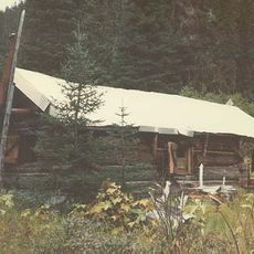
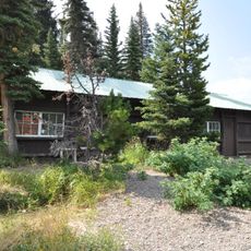
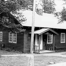
Marias Pass

Log in to your account

Start exploring — it's free

Trusted by 86,248 travelers worldwide

Continue with Google
Continue with Apple
or

We will send you a code to connect

By continuing, you accept our Terms and Conditions and our Privacy Policy

Check your inbox

We've sent a pincode in your inbox. Please enter the code below.

Marias Pass
Discussion Reviews 1 Photos
13.5k Popularity

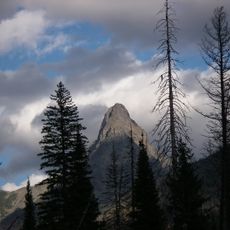
Marias Pass, Rail mountain pass in Montana, United States.

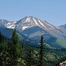
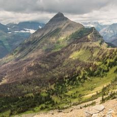
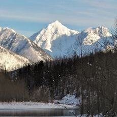
Marias Pass is a mountain passage through the Northern Rocky Mountains connecting eastern and western Montana with gradual slopes suitable for rail and road traffic. The corridor accommodates both a major railroad line and a federal highway that operate year-round to move freight and travelers across the state.

The Great Northern Railway completed its line through the pass in 1890, establishing a crucial link between the Midwest and the Pacific Northwest. This railway development opened the region to broader commerce and settlement patterns.

Native American tribes utilized this natural corridor for generations before European settlers discovered its potential for railway development.

The area remains accessible year-round, though winter conditions can bring snow and variable road situations. Travelers should prepare for changing weather and check current conditions before making the crossing.

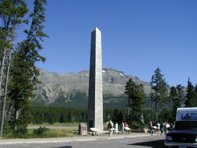
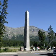
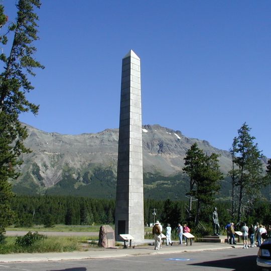
A granite obelisk marking the summit dates to 1931 and honors Theodore Roosevelt. This monument reflects the president's role in supporting railroad expansion across the mountainous west.

The community of curious travelers

AroundUs brings together thousands of curated places, local tips, and hidden gems, enriched daily by 60,000 contributors worldwide.
Start exploring
Location
Elevation above the sea
1,588 m
GPS coordinates
48.31830,-113.35500
Latest update
September 12, 2026 03:28
Around this place
Great Bear Wilderness
United States of America

Great Bear Wilderness

14 mi
Izaak Walton Inn
United States of America

Izaak Walton Inn

12.1 mi
Two Medicine Store
United States of America

Two Medicine Store

11.5 mi
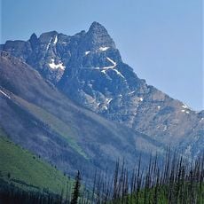
Mount Saint Nicholas
United States of America

Mount Saint Nicholas

10.3 mi
Summit Mountain
United States of America

Summit Mountain

2.6 mi
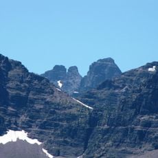
Lone Walker Mountain
United States of America

Lone Walker Mountain

10.9 mi
United States of America

McClintock Peak

15.3 mi
Lupfer Glacier
United States of America

Lupfer Glacier

13.2 mi
United States of America

Sheep Mountain

5.6 mi
Mount Doody
United States of America

Mount Doody

12.8 mi
United States of America

Caper Peak

10.4 mi
Cloudcroft Peaks
United States of America

Cloudcroft Peaks

12.7 mi
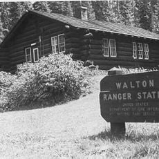
Walton Ranger Station Historic District
United States of America

Walton Ranger Station Historic District

11.8 mi
United States of America

Brave Dog Mountain

5.6 mi
Two Medicine Campground Camptender's Cabin
United States of America

Two Medicine Campground Camptender's Cabin

11.8 mi
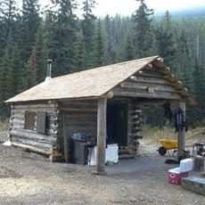
Coal Creek Patrol Cabin
United States of America

Coal Creek Patrol Cabin

15.2 mi
United States of America

Peril Peak

14.4 mi
Swanson Boathouse
United States of America

Swanson Boathouse

11.4 mi
United States of America

Mount Phillips

13.5 mi
East Glacier Ranger Station Historic District
United States of America

East Glacier Ranger Station Historic District

10.7 mi
United States of America

Vigil Peak

9 mi
Lower Park Creek Patrol Cabin
United States of America

Lower Park Creek Patrol Cabin

8.8 mi
Wolftail Mountain
United States of America

Wolftail Mountain

14.5 mi
Tinkham Mountain
United States of America

Tinkham Mountain

15.9 mi
Upper Park Creek Patrol Cabin
United States of America

Upper Park Creek Patrol Cabin

8.2 mi
Battlement Mountain
United States of America

Battlement Mountain

10 mi
Fielding Snowshoe Patrol Cabin
United States of America

Fielding Snowshoe Patrol Cabin

5.2 mi
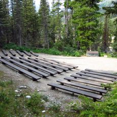
Two Medicine Campground Amphitheater
United States of America

Two Medicine Campground Amphitheater

11.9 mi
Show the full map
Reviews
Share your experience

No review yet

Discussions
Start a discussion...

No discussion yet

« Marias Pass - Rail mountain pass in Montana, United States » is provided by Around Us (aroundus.com). Images and texts are derived from Wikimedia project under a Creative Commons license. You are allowed to copy, distribute, and modify copies of this page, under the conditions set by the license, as long as this note is clearly visible.

Discover hidden gems everywhere you go!

From secret cafés to breathtaking viewpoints, skip the crowded tourist spots and find places that match your style. Our app makes it easy with voice search, smart filtering, route optimization, and insider tips from travelers worldwide. Download now for the complete mobile experience.

Around Us App Screenshot

A unique approach to discovering new places

Le Figaro

All the places worth exploring

France Info

A tailor-made excursion in just a few clicks

20 Minutes

Around Us
Travel Guide & Maps
Download

Send to your phone

QR Code
1

Open the camera app on your mobile.

2

Point at the QR code with your camera. A notification will appear.

3

Tap the notification to open the link.