
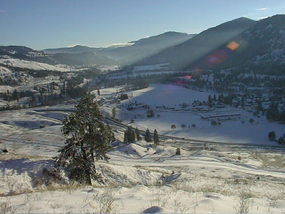
Midway, village in British Columbia, Canada
Location: Regional District of Kootenay Boundary
Inception: 1893
Elevation above the sea: 578 m
Website: https://midwaybc.ca/
Website: https://midwaybc.ca
GPS coordinates: 49.01060,-118.77900
Latest update: March 16, 2025 22:45
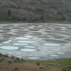
Spotted Lake
58 km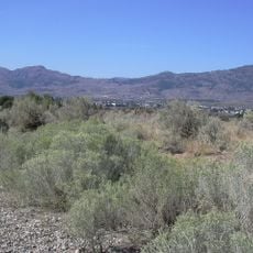
Okanagan Desert
54.1 km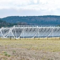
Canadian Hydrogen Intensity Mapping Experiment
70.6 km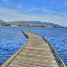
Osoyoos Lake
48.7 km
Kettle Falls
64.2 km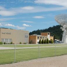
Dominion Radio Astrophysical Observatory
70.3 km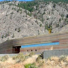
Nk'Mip Desert Cultural Centre
47.9 km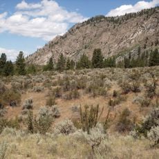
South Okanagan-Similkameen National Park
67 km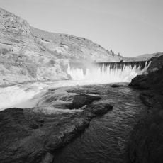
Enloe Dam and Powerplant
53 km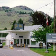
Ferry-Midway Border Crossing
1.8 km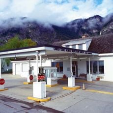
Laurier-Cascade Border Crossing
40.5 km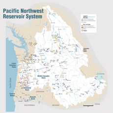
Zosel Dam
47.6 km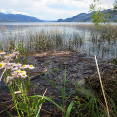
Sẁiẁs Provincial Park
49.2 km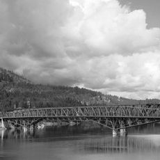
Kettle Falls Bridges
64.7 km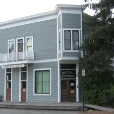
Ansorge Hotel
19.2 km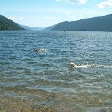
Gladstone Provincial Park
50.2 km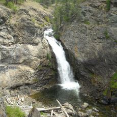
Boundary Falls
6.1 km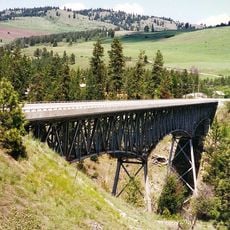
Rock Creek Canyon Bridge
25.1 km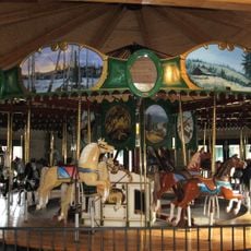
Ferry County Carousel
40.6 km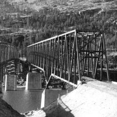
Kettle Falls Railroad Bridge
64.7 km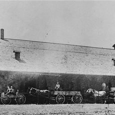
Old Apple Warehouse
69.3 km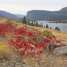
Vaseux Lake Provincial Park
63.6 km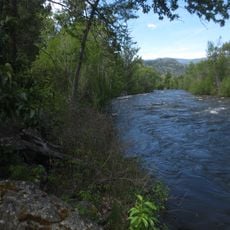
Inkaneep Provincial Park
60.6 km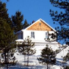
Creaser Hotel
40.6 km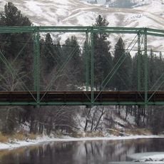
Curlew Bridge
19.1 km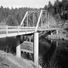
Orient Bridge
45.4 km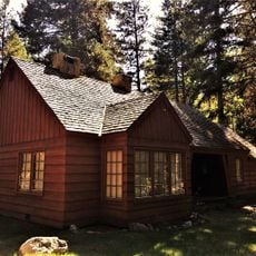
Lost Lake Guard Station
27 km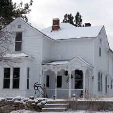
Fairweather–Trevitt House
40.6 kmReviews
Visited this place? Tap the stars to rate it and share your experience / photos with the community! Try now! You can cancel it anytime.
Discover hidden gems everywhere you go!
From secret cafés to breathtaking viewpoints, skip the crowded tourist spots and find places that match your style. Our app makes it easy with voice search, smart filtering, route optimization, and insider tips from travelers worldwide. Download now for the complete mobile experience.

A unique approach to discovering new places❞
— Le Figaro
All the places worth exploring❞
— France Info
A tailor-made excursion in just a few clicks❞
— 20 Minutes