
Airway Heights, city in Spokane County, Washington, United States
Location: Spokane County
Inception: 1955
Elevation above the sea: 731 m
Website: http://cawh.org/
Website: http://cawh.org
GPS coordinates: 47.64361,-117.58639
Latest update: June 8, 2025 15:59
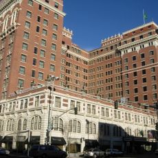
The Davenport Hotel
12.3 km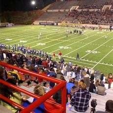
Joe Albi Stadium
10.3 km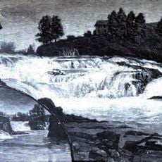
Spokane Falls
12.3 km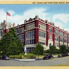
Lewis and Clark High School
12.5 km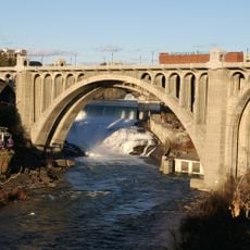
Monroe Street Bridge
12 km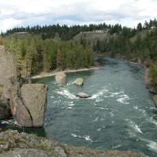
Riverside State Park
11 km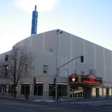
Fox Theatre
12 km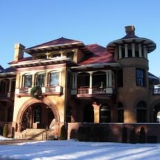
Patsy Clark Mansion
10.8 km
Northwest Museum of Arts and Culture
10.6 km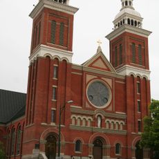
Cathedral of Our Lady of Lourdes
12 km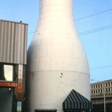
Benewah Milk Bottle
11.6 km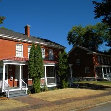
Fort George Wright
9.3 km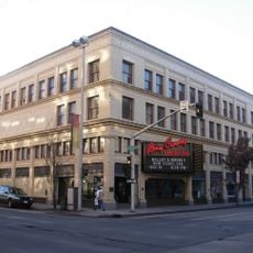
Bing Crosby Theater
12.2 km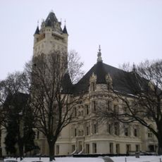
Spokane County Courthouse
12.1 km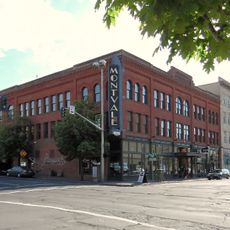
Montvale Hotel
12 km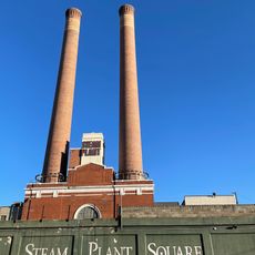
Central Steam Heat Plant
12.2 km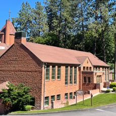
Marycliff-Cliff Park Historic District
12.4 km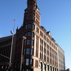
Review Building
12.1 km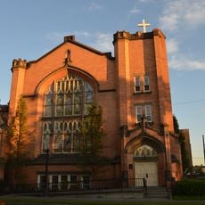
Grace Baptist Church
11.7 km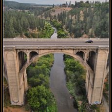
Sunset Boulevard Bridge
10.4 km
Empire State Building
12.3 km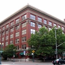
Spokane City Hall Building
12.5 km
Riverside Avenue Historic District
11.9 km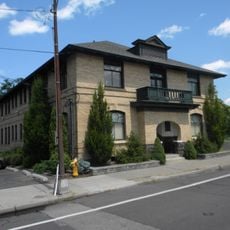
Amman
11.5 km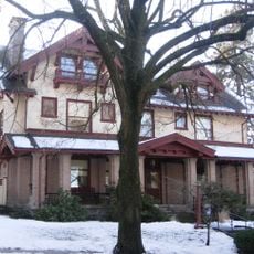
Coolidge–Rising House
11.6 km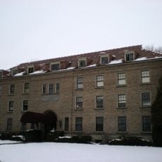
John A. Finch Memorial Nurses Home
10.2 km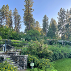
Moore-Turner Garden
12.4 km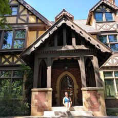
Campbell House
10.6 kmReviews
Visited this place? Tap the stars to rate it and share your experience / photos with the community! Try now! You can cancel it anytime.
Discover hidden gems everywhere you go!
From secret cafés to breathtaking viewpoints, skip the crowded tourist spots and find places that match your style. Our app makes it easy with voice search, smart filtering, route optimization, and insider tips from travelers worldwide. Download now for the complete mobile experience.

A unique approach to discovering new places❞
— Le Figaro
All the places worth exploring❞
— France Info
A tailor-made excursion in just a few clicks❞
— 20 Minutes