Spokane County

Log in to your account

AroundUs is a community-driven map of interesting places, built by curious explorers like you. It grows with every review, story, and photo you share.
Connect to save your favorite spots, contribute locations, and create personalized routes.
Continue with Google
Continue with Apple
Continue with X
Continue with Facebook
Continue with email
By continuing, you accept our Terms and Conditions and our Privacy Policy
Create an account
Add to collection
Map
Suggest a change
Share

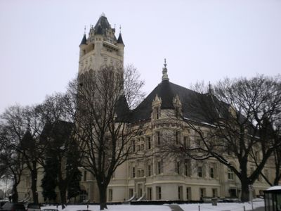
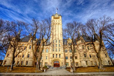
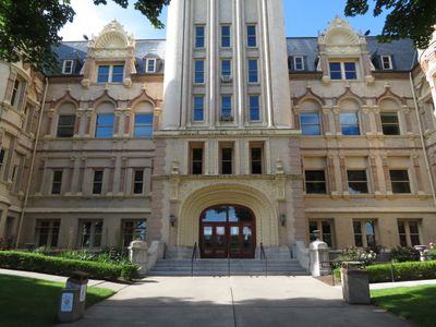
Spokane County, County administrative division in eastern Washington, United States.

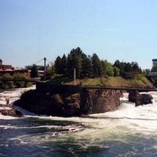
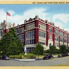
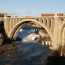
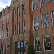
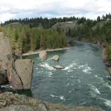
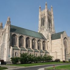
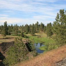
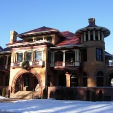
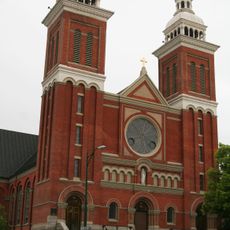
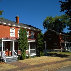
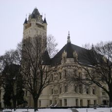
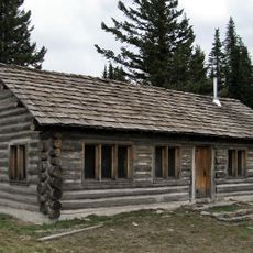
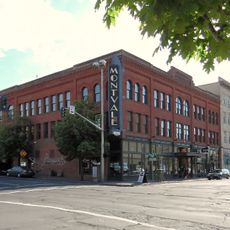
Spokane County is an administrative area in eastern Washington that spans varied landscapes with mountains, forests, and river valleys. The region includes several towns and communities, with Spokane city serving as its largest and most important urban center.

The area was established as an administrative unit in 1858 when territorial lawmakers separated it from an existing county. This formation marked the beginning of organized governance in a region that had been shaped by trade routes and gold prospecting activities.

The name comes from the Native American people who lived here, and their language gives this place its identity. Walking through towns in the area, you'll notice how this heritage appears in local names, businesses, and community gatherings that honor these roots.

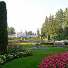
The area is accessible to visitors, with major roads connecting the various communities to each other and surrounding regions. A visit is possible year-round, with different seasons offering varied activities and experiences.

The area shows a mix of industrial, agricultural, and natural zones that reveal different aspects of the regional economy. Visitors often notice the contrasts between developed urban centers and more rural, forested areas.

Location: Washington

Inception: 1858

Capital city: Spokane

Shares border with: Stevens County, Pend Oreille County, Bonner County, Kootenai County, Benewah County, Whitman County, Lincoln County

Website: http://spokanecounty.org

GPS coordinates: 47.62000,-117.40000

Latest update: December 14, 2025 19:45

Photos
Around this place
The Davenport Hotel
United States of America

The Davenport Hotel

4.5 km
Riverfront Park
United States of America

Riverfront Park

5 km
Joe Albi Stadium
United States of America

Joe Albi Stadium

11.3 km
Spokane Falls
United States of America

Spokane Falls

5 km
Lewis and Clark High School
United States of America

Lewis and Clark High School

3.9 km
Mount Saint Michael
United States of America

Mount Saint Michael

13.2 km
Manito Park and Botanical Gardens
United States of America

Manito Park and Botanical Gardens

2 km
Monroe Street Bridge
United States of America

Monroe Street Bridge

4.9 km
John R. Rogers High School
United States of America

John R. Rogers High School

9 km
Riverside State Park
United States of America

Riverside State Park

17 km
Cathedral of St. John the Evangelist
United States of America

Cathedral of St. John the Evangelist

2.9 km
Turnbull National Wildlife Refuge
United States of America

Turnbull National Wildlife Refuge

25.2 km
Fox Theatre
United States of America

Fox Theatre

4.6 km
Riverfront Park Carousel
United States of America

Riverfront Park Carousel

4.8 km
Patsy Clark Mansion
United States of America

Patsy Clark Mansion

5.1 km
Spokane River Centennial State Park Trail
United States of America

Spokane River Centennial State Park Trail

28.1 km
Northwest Museum of Arts and Culture
United States of America

Northwest Museum of Arts and Culture

5.4 km
Cathedral of Our Lady of Lourdes
United States of America

Cathedral of Our Lady of Lourdes

4.8 km
Benewah Milk Bottle
United States of America

Benewah Milk Bottle

4.4 km
Fort George Wright
United States of America

Fort George Wright

8.5 km
Bing Crosby Theater
United States of America

Bing Crosby Theater

4.5 km
Spokane Convention Center
United States of America

Spokane Convention Center

4.7 km
Spokane County Courthouse
United States of America

Spokane County Courthouse

5.4 km
Mount Spokane State Park
United States of America

Mount Spokane State Park

40.1 km
United States of America

Dishman Hills

9 km
United States of America

John A. Finch Arboretum

5.5 km
Cat Tales Wildlife Center
United States of America

Cat Tales Wildlife Center

21.3 km
Montvale Hotel
United States of America

Montvale Hotel

4.5 km
Show the full map
Reviews

Visited this place? Tap the stars to rate it and share your experience / photos with the community! Try now! You can cancel it anytime.

Administrative divisions
« Spokane County - County administrative division in eastern Washington, United States » is provided by Around Us (aroundus.com). Images and texts are derived from Wikimedia project under a Creative Commons license. You are allowed to copy, distribute, and modify copies of this page, under the conditions set by the license, as long as this note is clearly visible.

Discover hidden gems everywhere you go!

From secret cafés to breathtaking viewpoints, skip the crowded tourist spots and find places that match your style. Our app makes it easy with voice search, smart filtering, route optimization, and insider tips from travelers worldwide. Download now for the complete mobile experience.

Around Us App Screenshot

A unique approach to discovering new places

Le Figaro

All the places worth exploring

France Info

A tailor-made excursion in just a few clicks

20 Minutes