Stagleap Provincial Park, provincial park in Central Kootenay Regional District, British Columbia, Canada
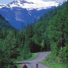
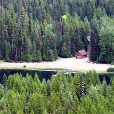
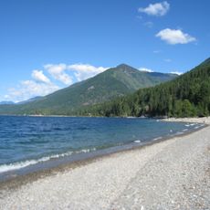
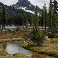
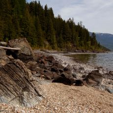
Stagleap Provincial Park is a protected mountain area situated at one of Canada's highest year-round highway passes, surrounded by subalpine forest and featuring Bridal Lake as a focal point. The terrain spans from forested slopes to high alpine zones with exposed ridges, meadows, and hiking trails that offer varied landscapes and mountain views.
This area has been used and shaped by Indigenous Peoples over many generations, and this historical relationship with the land continues to define the place. The park's establishment as a modern protected area reflects an ongoing effort to recognize and honor these deep-rooted connections.
Indigenous communities hold deep connections to this land through generations of tradition and storytelling that shape how the place is understood and valued. Visitors today can sense this cultural layer and learn how local history and natural environment are intertwined.
The park is open year-round and sits about 34 km west of Creston on Highway 3, making it accessible for day visits and short stops. Winter travel requires experience and proper gear due to avalanche risk, while summer hiking on marked trails is more straightforward for most visitors.
A small herd of roughly 40 woodland caribou migrate across the Canada-US border and depend on this park as a critical corridor for their survival and movement. This cross-border population makes the area a lifeline for one of the region's most threatened mammals.
The community of curious travelers
AroundUs brings together thousands of curated places, local tips, and hidden gems, enriched daily by 60,000 contributors worldwide.