Pennask Summit, Mountain road pass on Thompson Plateau, Canada
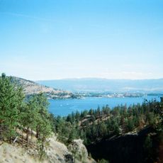
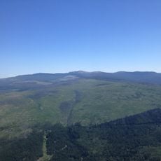
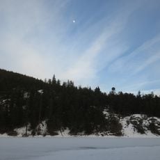
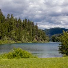
Pennask Summit is a mountain pass on the Thompson Plateau reaching 1,728 meters in elevation and connecting Aspen Grove to Peachland across roughly 81 kilometers of mountainous terrain. The four-lane divided freeway winds through varied landscapes and serves as a major transportation link through interior British Columbia.
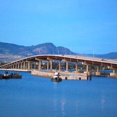
The mountain pass opened in 1991 with the completion of Highway 97C and created an essential transportation link across interior British Columbia. This highway infrastructure connected two previously separated regions and eased trade and personal travel over the plateau.
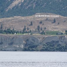
The name Pennask originates from the adjacent Pennask Creek, located within the traditional territories of First Nations communities in British Columbia.
Drive with extra caution, especially in winter when snow and ice reduce visibility and traction significantly. The steep inclines, particularly when traveling westward, require reduced speed and careful brake management on longer descents.
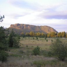
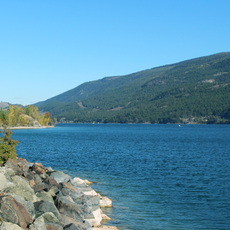
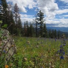
This is the second highest mountain pass in the province, surpassed only by Kootenay Pass, yet many travelers miss the sweeping views of surrounding peaks when in a hurry. Attentive observers will notice the shifts in plant life and climate as they climb the elevation.
The community of curious travelers
AroundUs brings together thousands of curated places, local tips, and hidden gems, enriched daily by 60,000 contributors worldwide.