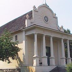
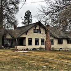
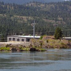
Burke Canyon, Mining canyon in Shoshone County, United States
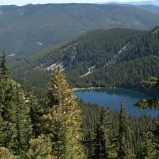
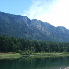
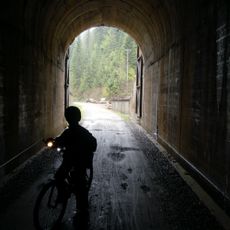
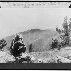
Burke Canyon is a narrow gorge in the Silver Valley region, with Idaho State Highway 4 running through it and winding northeast toward the Montana border. Steep walls measuring roughly 300 feet (90 meters) wide frame the landscape between several former mining settlements.
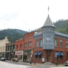
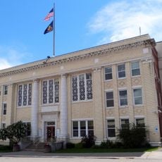
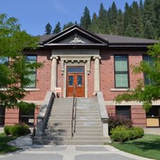
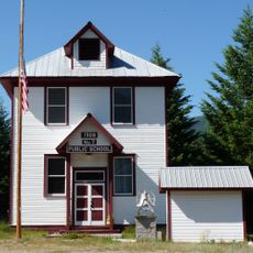
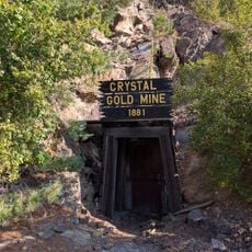
The discovery of silver, lead, and zinc in 1884 quickly transformed the area into a mining center, leading to the establishment of several communities within a few years. This period of growth fundamentally shaped the region and its infrastructure.
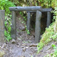
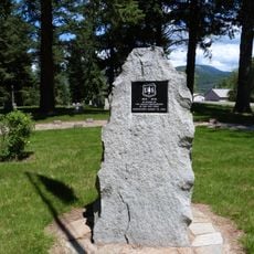
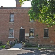
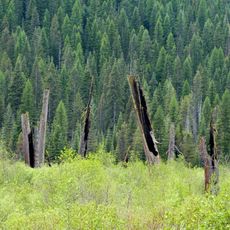
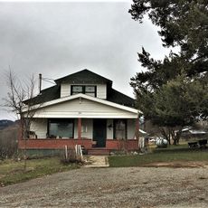
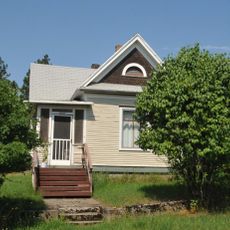
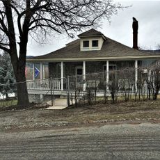
The canyon became a center for worker movements, with miners organizing to protest working conditions in the local mines. Today, abandoned structures throughout the area reflect this turbulent period of industrial activity.
The highway through the canyon is open and passable, but access to old mining sites and abandoned structures requires caution and respect for private or protected land. Water quality in Canyon Creek is monitored by environmental authorities due to historical heavy metal contamination from mining operations.
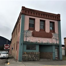
The Tiger Hotel, built in 1896, was designed with the railway running directly through its lobby because space was so limited between the canyon walls. This unusual arrangement shows how builders found creative solutions to extreme spatial constraints.
The community of curious travelers
AroundUs brings together thousands of curated places, local tips, and hidden gems, enriched daily by 60,000 contributors worldwide.