Enable Location

We need your location to show you interesting places around you

Discover nearby places

Find interesting locations and hidden gems around you

Precise directions

Get accurate directions and distances to places

Your location is never shared with other users. It's only used when you tap the location button.

Shoshone County

Log in to your account

Start exploring — it's free

Trusted by 61,637 travelers worldwide

Continue with Google
Continue with Apple
or

We will send you a code to connect

By continuing, you accept our Terms and Conditions and our Privacy Policy

Check your inbox

We've sent a pincode in your inbox. Please enter the code below.

Shoshone County, Administrative division in northern Idaho, United States

Description

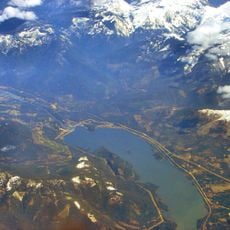
Shoshone County is an administrative division in northern Idaho that encompasses mountains and valleys across a broad terrain. Seven incorporated cities are positioned along the Interstate-90 corridor through the Silver Valley, forming the main population centers.

History

The county was established in January 1861 and originally extended from the Snake River north to Canada and between the Columbia River and Rocky Mountains. This vast initial territory was later reduced through boundary adjustments as new counties were created.

Culture

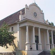
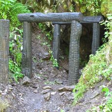
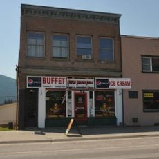
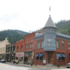
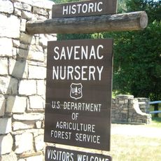
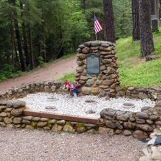
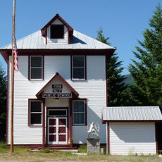
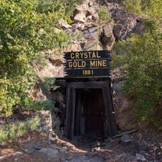
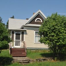
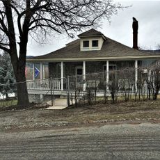
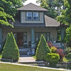
The county takes its name from the Shoshone Nation, and the region maintains strong ties to mining through local traditions and heritage sites throughout Silver Valley. Visitors can see how mining shaped the character of communities along the valley.

Practical

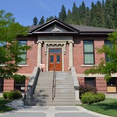
The county is governed by three commissioners who oversee services through various departments at the county office. Visitors seeking information about permits, emergency services, planning, or assessor resources can access these offices along the main corridor.

Did you know?

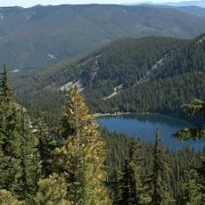
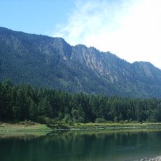
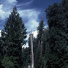
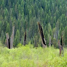
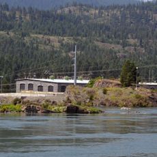
The region is predominantly forested, with roughly 87 percent covered by woodland that gives the landscape its rugged character. Despite this heavily forested nature, the handful of developed areas remain concentrated in the valley corridor, leaving vast stretches untouched.

GPS coordinates
47.30549,-115.95832
Latest update
December 7, 2025 19:26

AroundUs brings together thousands of curated places, local tips, and hidden gems, enriched daily by 60,000 contributors worldwide. Discover all places nearby (Shoshone County).

Around this place
Old Mission State Park
United States of America

Old Mission State Park

40.7 km
Edward Pulaski Tunnel and Placer Creek Escape Route
United States of America

Edward Pulaski Tunnel and Placer Creek Escape Route

17.3 km
Idaho Panhandle National Forests
United States of America

Idaho Panhandle National Forests

49.7 km
Noxon Rapids Dam
United States of America

Noxon Rapids Dam

74.8 km
Thompson Falls State Park
United States of America

Thompson Falls State Park

55 km
Chicago, Milwaukee, St. Paul and Pacific Railroad Company Historic District
United States of America

Chicago, Milwaukee, St. Paul and Pacific Railroad Company Historic District

23.5 km
Gem Saloon
United States of America

Gem Saloon

56.2 km
United States of America

Burke Canyon

24.4 km
Wallace Historic District
United States of America

Wallace Historic District

18.7 km
Hobo Cedar Grove Botanical Area
United States of America

Hobo Cedar Grove Botanical Area

27.1 km
Savenac Nursery Historic District
United States of America

Savenac Nursery Historic District

43.3 km
Tourist Hotel
United States of America

Tourist Hotel

56.3 km
Cabinet National Forest
United States of America

Cabinet National Forest

77.4 km
Wallace 1910 Fire Memorial
United States of America

Wallace 1910 Fire Memorial

20.6 km
Wallace Carnegie Library
United States of America

Wallace Carnegie Library

18.9 km
Sanders County Jail
United States of America

Sanders County Jail

56 km
Cedar Snags
United States of America

Cedar Snags

16.7 km
De Borgia Schoolhouse
United States of America

De Borgia Schoolhouse

46.7 km
Crystal Gold Mine
United States of America

Crystal Gold Mine

27.2 km
Bedard House
United States of America

Bedard House

56.4 km
Ainsworth House
United States of America

Ainsworth House

55.7 km
Preston House
United States of America

Preston House

56.6 km
Thayer House
United States of America

Thayer House

56.2 km
Grandchamp House
United States of America

Grandchamp House

56 km
Thompson Falls Hydroelectric Dam Historic District
United States of America

Thompson Falls Hydroelectric Dam Historic District

55.5 km
Hoyt House
United States of America

Hoyt House

56.2 km
Griffen House
United States of America

Griffen House

56.1 km
Northern Pacific Railroad Depot Museum
United States of America

Northern Pacific Railroad Depot Museum

18.9 km
Show the full map
« Shoshone County - Administrative division in northern Idaho, United States » is provided by Around Us (aroundus.com). Images and texts are derived from Wikimedia project under a Creative Commons license. You are allowed to copy, distribute, and modify copies of this page, under the conditions set by the license, as long as this note is clearly visible.

Discover hidden gems everywhere you go!

From secret cafés to breathtaking viewpoints, skip the crowded tourist spots and find places that match your style. Our app makes it easy with voice search, smart filtering, route optimization, and insider tips from travelers worldwide. Download now for the complete mobile experience.

Around Us App Screenshot

A unique approach to discovering new places

Le Figaro

All the places worth exploring

France Info

A tailor-made excursion in just a few clicks

20 Minutes

Around Us
Travel Guide & Maps
Download

Send to your phone

QR Code
1

Open the camera app on your mobile.

2

Point at the QR code with your camera. A notification will appear.

3

Tap the notification to open the link.