Enable Location

We need your location to show you interesting places around you

Discover nearby places

Find interesting locations and hidden gems around you

Precise directions

Get accurate directions and distances to places

Your location is never shared with other users. It's only used when you tap the location button.

Ptarmigan Tunnel

Log in to your account

Start exploring — it's free

Trusted by 62,375 travelers worldwide

Continue with Google
Continue with Apple
or

We will send you a code to connect

By continuing, you accept our Terms and Conditions and our Privacy Policy

Check your inbox

We've sent a pincode in your inbox. Please enter the code below.

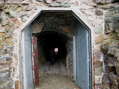
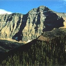
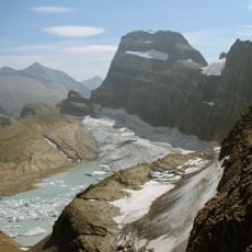
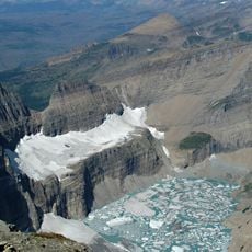
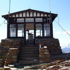
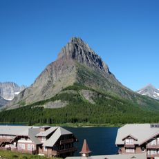
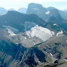
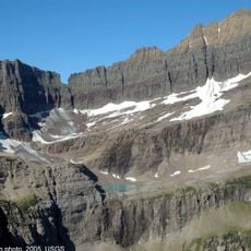
Ptarmigan Tunnel, pedestrian tunnel in Glacier County, Montana

Ptarmigan Tunnel is a pedestrian passage carved through a mountain ridge in Glacier National Park, about 250 feet long with rough natural stone walls and a simple arch structure. It was constructed to allow hikers to cross between areas without climbing over the peak, featuring masonry reinforced portals at each opening.

Built in the early 1930s under designer Ole Westman, workers used picks, chisels, and dynamite to carve the tunnel through solid rock in less than three months from both sides. It was added to the National Register of Historic Places in 1986, recognizing its importance to the park's early development.

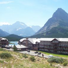
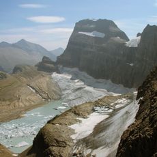
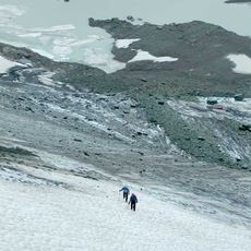
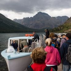
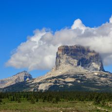
The tunnel represents the spirit of adventure and outdoor exploration that has drawn visitors to Glacier Park for generations. Hikers often share stories about passing through it, and it has become part of the park's identity as a place where nature and human effort come together.

The tunnel is open from mid-July through October when steel doors remain unlocked, and visitors should wear sturdy hiking boots as the stone surface can be slippery when wet. Temperatures are cooler at this elevation, so bringing a jacket and layers is recommended, and starting early in the day offers quieter conditions inside.

Heavy steel doors were installed in the 1970s to secure the tunnel during winter closures, adding an unexpected layer to this handmade mountain passage. This later addition reveals how park managers adapted the original structure to protect it from seasonal damage and control visitor access.

The community of curious travelers

AroundUs brings together thousands of curated places, local tips, and hidden gems, enriched daily by 60,000 contributors worldwide.

Start exploring
Location
Inception
1930
GPS coordinates
48.84917,-113.70778
Latest update
February 7, 2026 11:40
Around this place
Many Glacier Hotel
United States of America

Many Glacier Hotel

6.9 km
Grinnell Glacier
United States of America

Grinnell Glacier

10.9 km
Granite Park Chalet
United States of America

Granite Park Chalet

9.9 km
Garden Wall
United States of America

Garden Wall

13.2 km
United States of America

Lewis Overthrust

11.8 km
Mount Cleveland
United States of America

Mount Cleveland

13.3 km
Gem Glacier
United States of America

Gem Glacier

11.5 km
Great Northern Railway Buildings
United States of America

Great Northern Railway Buildings

9.9 km
The Salamander Glacier
United States of America

The Salamander Glacier

10.4 km
United States of America

Haystack Butte

13.1 km
Swiftcurrent Fire Lookout
United States of America

Swiftcurrent Fire Lookout

8.3 km
Chaney Glacier
United States of America

Chaney Glacier

9 km
Ahern Glacier
United States of America

Ahern Glacier

5.6 km
Old Sun Glacier
United States of America

Old Sun Glacier

5.7 km
Grinnell Point
United States of America

Grinnell Point

7.1 km
Swiftcurrent Glacier
United States of America

Swiftcurrent Glacier

9.4 km
Swiftcurrent Auto Camp Historic District
United States of America

Swiftcurrent Auto Camp Historic District

6.1 km
Shepard Glacier
United States of America

Shepard Glacier

11.2 km
Belly River Ranger Station Historic District
United States of America

Belly River Ranger Station Historic District

9.2 km
Many Glacier Campground Camptender's Cabin
United States of America

Many Glacier Campground Camptender's Cabin

6.2 km
Many Glacier Barn and Bunkhouse
United States of America

Many Glacier Barn and Bunkhouse

7.1 km
Sherburne Ranger Station Historic District
United States of America

Sherburne Ranger Station Historic District

9.9 km
Slide Lake-Otatso Creek Patrol Cabin and Woodshed
United States of America

Slide Lake-Otatso Creek Patrol Cabin and Woodshed

10.4 km
Morning Eagle
United States of America

Morning Eagle

7.4 km
Swiftcurrent Ranger Station Historic District
United States of America

Swiftcurrent Ranger Station Historic District

6.3 km
Many Glacier Campground
United States of America

Many Glacier Campground

6.3 km
Chief Mountain
United States of America

Chief Mountain

11.8 km
Many Glacier Campground Amphitheater
United States of America

Many Glacier Campground Amphitheater

6.1 km
Show the full map
« Ptarmigan Tunnel - pedestrian tunnel in Glacier County, Montana » is provided by Around Us (aroundus.com). Images and texts are derived from Wikimedia project under a Creative Commons license. You are allowed to copy, distribute, and modify copies of this page, under the conditions set by the license, as long as this note is clearly visible.

Discover hidden gems everywhere you go!

From secret cafés to breathtaking viewpoints, skip the crowded tourist spots and find places that match your style. Our app makes it easy with voice search, smart filtering, route optimization, and insider tips from travelers worldwide. Download now for the complete mobile experience.

Around Us App Screenshot

A unique approach to discovering new places

Le Figaro

All the places worth exploring

France Info

A tailor-made excursion in just a few clicks

20 Minutes

Around Us
Travel Guide & Maps
Download

Send to your phone

QR Code
1

Open the camera app on your mobile.

2

Point at the QR code with your camera. A notification will appear.

3

Tap the notification to open the link.