Chest opened
+${chestReward.xp} XP
Explorer
NOUVEAU ×${chestReward.collectible.quantity}
tapez pour fermer

See the monuments around you in AR Open chests in the app

Around Us is built for your phone — point your camera at the streets and discover the monuments and places around you in augmented reality. Around Us is built for your phone — chests unlock when you walk, explore and capture nearby places.

•

Enable Location

We need your location to show you interesting places around you

Discover nearby places

Find interesting locations and hidden gems around you

Precise directions

Get accurate directions and distances to places

Your location is never shared with other users. It's only used when you tap the location button.

Teewinot Mountain

Log in to your account

Start exploring — it's free

Trusted by 92,788 travelers worldwide

Continue with Google
Continue with Apple
or

We will send you a code to connect

By continuing, you accept our Terms and Conditions and our Privacy Policy

Check your inbox

We've sent a pincode in your inbox. Please enter the code below.

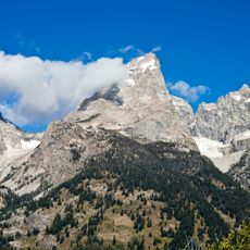
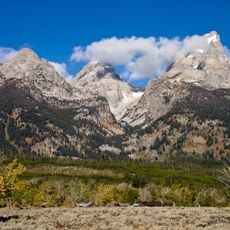
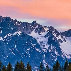
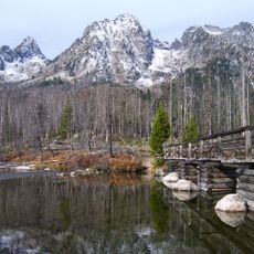
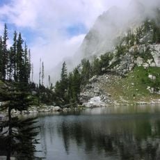
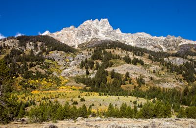
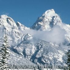
Teewinot Mountain, Mountain summit in Grand Teton National Park, Wyoming, United States.

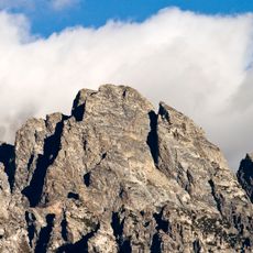
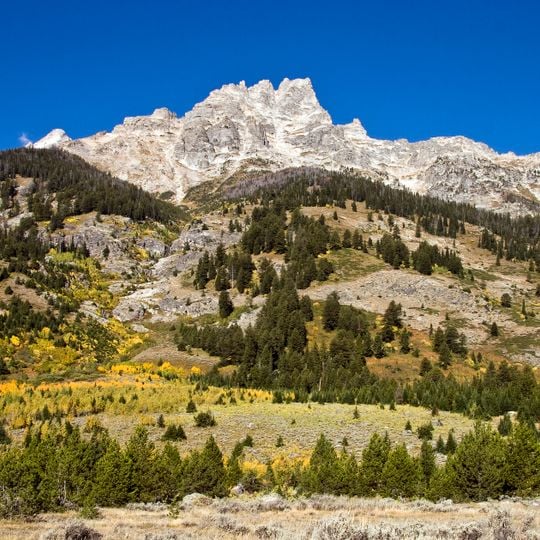
Teewinot Mountain is a summit in the Teton Range that rises approximately 3,750 meters (12,325 feet) and features steep rock faces and exposed ridges. The peak is marked by several sharp, vertical rock formations that define its distinctive appearance.

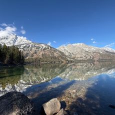
Teewinot Mountain is part of the Cathedral Group, the cluster of the range's highest summits between Cascade Canyon and Avalanche Canyon. The Teton Range itself began to rise about 9 million years ago during the Miocene, making it the youngest mountain chain in the Rocky Mountains. Repeated glaciation then carved the peak and its neighbours into their present shapes.

The name, originally recorded as Tee-Win-At, comes from the Shoshone language and means "pinnacles", fitting a summit that is a large monolith with several sharp spires. The highest spire is exposed and has room for only one or two people.

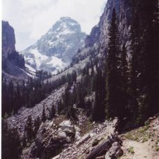
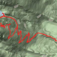
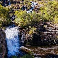
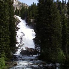
The usual route starts at the Lupine Meadows Trailhead south of Jenny Lake and follows the unmarked Apex Trail up much of the mountain. The final stretch is an exposed Class 4 scramble to a summit large enough for only one or two people. Broken Falls drops 300 feet down the eastern slopes.

The summit is a single large monolith whose highest spire is exposed and large enough for only one or two people at a time. The unmarked Apex Trail from Lupine Meadows leads most of the way up the East Face before the final Class 4 scramble.

The community of curious travelers

AroundUs brings together thousands of curated places, local tips, and hidden gems, enriched daily by 92,788 contributors worldwide.
Start exploring
Location
GPS coordinates
43.74669,-110.78002
Latest update
October 24, 2026 19:11
Reviews
Share your experience

No review yet

Discussions
Start a discussion...

No discussion yet

« Teewinot Mountain - Mountain summit in Grand Teton National Park, Wyoming, United States » is provided by Around Us (aroundus.com). Images and texts are derived from Wikimedia project under a Creative Commons license. You are allowed to copy, distribute, and modify copies of this page, under the conditions set by the license, as long as this note is clearly visible.

Discover hidden gems everywhere you go!

From secret cafés to breathtaking viewpoints, skip the crowded tourist spots and find places that match your style. Our app makes it easy with voice search, smart filtering, route optimization, and insider tips from travelers worldwide. Download now for the complete mobile experience.

Around Us App Screenshot
❝

A unique approach to discovering new places❞

— Le Figaro

❝

All the places worth exploring❞

— France Info

❝

A tailor-made excursion in just a few clicks❞

— 20 Minutes

Around Us
Travel Guide & Maps
Download

Send to your phone

QR Code
1

Open the camera app on your mobile.

2

Point at the QR code with your camera. A notification will appear.

3

Tap the notification to open the link.