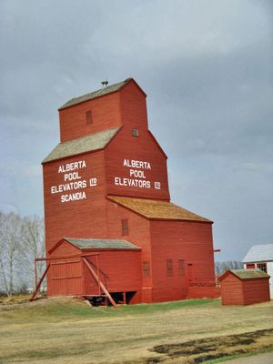
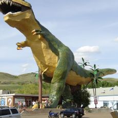
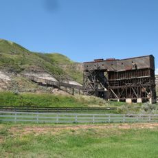
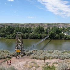
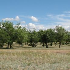
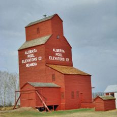
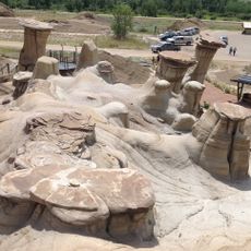
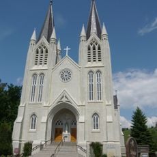
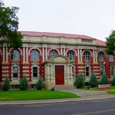
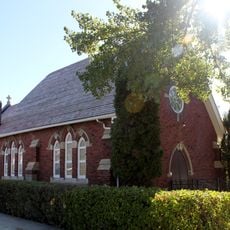
County of Newell, municipal district in Alberta
Location: Alberta
Shares border with: Special Area No. 2, Cypress County
Website: http://countyofnewell.ab.ca
GPS coordinates: 50.56417,-111.89889
Latest update: March 4, 2025 07:56
Dinosaur Provincial Park
36.6 km
Royal Tyrrell Museum of Palaeontology
119.4 km
Horseshoe Canyon Formation
118.1 km
World's Largest Dinosaur
115.4 km
Atlas Coal Mine
94.4 km
Blackfoot Crossing
75.9 km
Star Mine Suspension Bridge
107.7 km
Brooks Aqueduct
5 km
Midland Provincial Park
118.7 km
Little Bow Provincial Park
82.1 km
Medicine Hat Public Library
104.4 km
Little Fish Lake Provincial Park
92.4 km
Scandia Eastern Irrigation District Museum
33.7 km
Finlay Bridge
104.4 km
British Block Cairn
92.8 km
Drumheller hoodoos
101.2 km
St. Patrick's Roman Catholic Church
104.1 km
Medicine Hat Courthouse
104.4 km
St. Ambrose Anglican Church
96.6 km
Brooks & District Museum
2 km
Gem of the West Museum
105.7 km
Ralston School (R2)
63 km
Ewart-Duggan Residence
104.5 km
Cousins Residence
104.3 km
Gleichen Water Tower
88.1 km
Scandia Alberta Wheat Pool Grain Elevator and Bow Slope Stockyard
33.7 km
Treaty No. 7 Signing Site
75.4 km
Earthlodge Village
71.9 kmReviews
Visited this place? Tap the stars to rate it and share your experience / photos with the community! Try now! You can cancel it anytime.
Discover hidden gems everywhere you go!
From secret cafés to breathtaking viewpoints, skip the crowded tourist spots and find places that match your style. Our app makes it easy with voice search, smart filtering, route optimization, and insider tips from travelers worldwide. Download now for the complete mobile experience.
A unique approach to discovering new places❞
— Le Figaro
All the places worth exploring❞
— France Info
A tailor-made excursion in just a few clicks❞
— 20 Minutes