Meagher County, Administrative division in central Montana, United States.
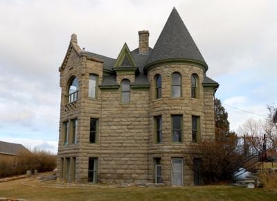
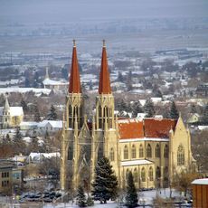
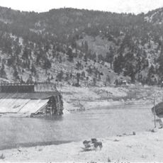
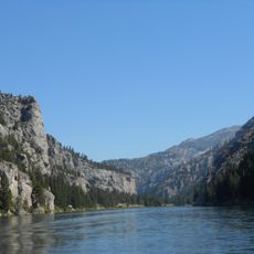
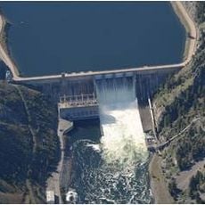
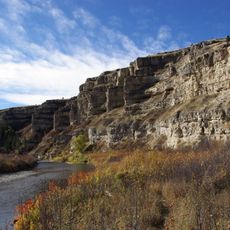
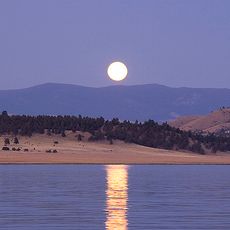
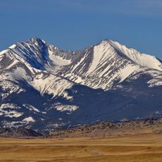
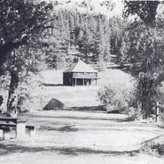
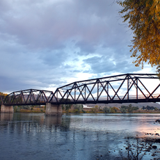
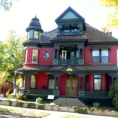
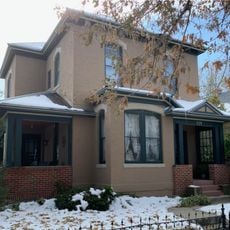
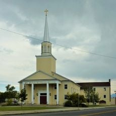
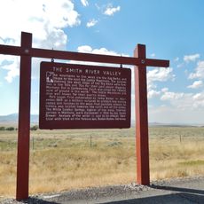
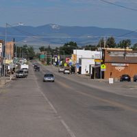
Meagher County is an administrative division in central Montana bordered by mountain ranges including the Little Belt, Big Belt, Castle, and Crazy Mountains. The Smith River flows through the region, and White Sulphur Springs serves as the county seat offering government services and accommodations to residents and visitors.
The county was established in 1867 and named after Thomas Francis Meagher, an Irish revolutionary who served as acting governor of Montana Territory. This naming reflects his influence on the region's early development during the territorial period.
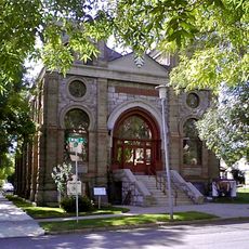
The Castle Museum in White Sulphur Springs displays a collection of historic carriages from different eras. The Bair Family Museum tells the story of Montana's largest sheep ranching operation through its artifacts and exhibits.
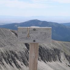
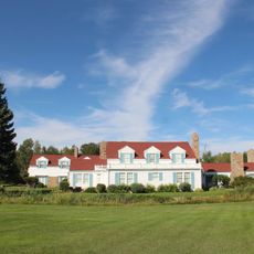
The area offers year-round access to natural thermal springs in White Sulphur Springs, along with various accommodations and dining options for visitors. The Showdown Montana Ski Area at Kings Hill Pass attracts visitors during winter months, while the surrounding mountains provide outdoor activities throughout the year.
The Showdown Montana Ski Area sits at an elevation that receives abundant snowfall and offers a range of runs suitable for different skill levels. Its remote location makes it a local favorite for skiers seeking less crowded slopes compared to larger resorts in the region.
The community of curious travelers
AroundUs brings together thousands of curated places, local tips, and hidden gems, enriched daily by 60,000 contributors worldwide.