White Sulphur Springs, city in and county seat of Meagher County, Montana, United States
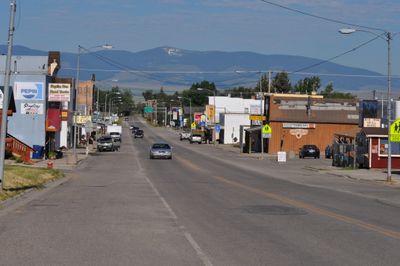
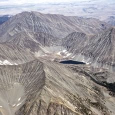
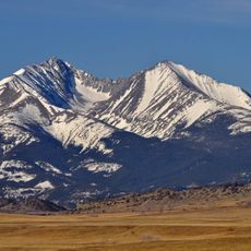
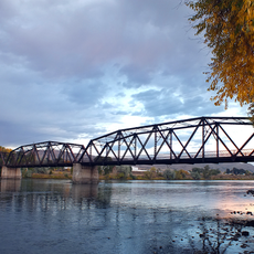
White Sulphur Springs is a small city in central Montana with roughly 1000 residents serving as the county seat of Meagher County. It sits in a valley surrounded by forests and open land, positioned inside the Lewis and Clark National Forest.
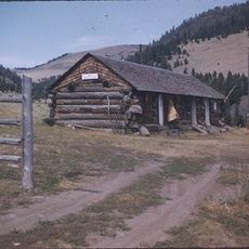
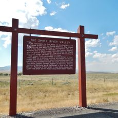
Native tribes used this valley for generations, calling it the Valley of Peace as a gathering place. Later settlers established the town around the natural hot springs that give it its name.
The town takes its name from natural hot springs that have drawn people for generations. These waters sit at the heart of how the community sees itself and what visitors come to experience.
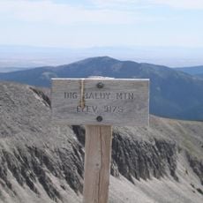
The town has road access and serves as a starting point for exploring the Kings Hill Scenic Byway and surrounding areas. Visitors can soak in the hot springs at the Spa Hot Springs Motel without staying there, and lodging options range from inns to campgrounds.
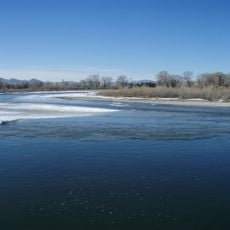
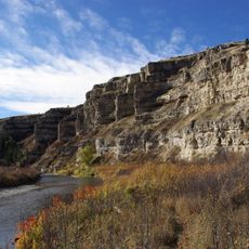
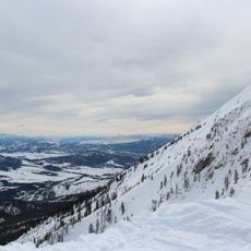
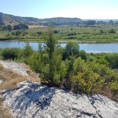
Nearby Showdown Ski Area receives natural snowfall and avoids the crowds of larger resorts. The Smith River requires permits to float, creating a quieter and more controlled fishing experience for those who plan ahead.
The community of curious travelers
AroundUs brings together thousands of curated places, local tips, and hidden gems, enriched daily by 60,000 contributors worldwide.