
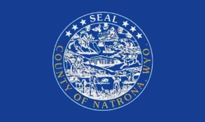
Natrona County, Administrative county in central Wyoming, United States
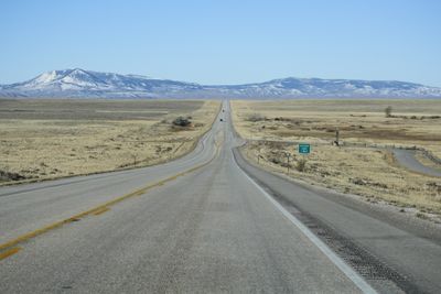
Natrona County spans 5,376 square miles of Wyoming terrain, encompassing Casper Mountain, Devil's Gate, and Independence Rock within its boundaries.
The Wyoming Territory legislature created Natrona County in March 1888, naming it after the abundant natron mineral deposits found throughout the region.
The county maintains strong connections to Native American heritage through lands once inhabited by Cheyenne, Arapaho, Shoshone, and Sioux tribes.
The Natrona County School District Number 1 operates educational facilities across the region, serving students through multiple elementary, middle, and high schools.
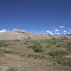
The county contains Hell's Half Acre, a 320-acre geological depression featuring unusual rock formations created through centuries of erosion.
Location: Wyoming
Inception: 1888
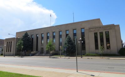
Capital city: Casper
Shares border with: Johnson County, Converse County, Carbon County, Fremont County, Washakie County
Website: http://natronacounty-wy.gov
GPS coordinates: 42.97000,-106.80000
Latest update: May 27, 2025 10:07
Independence Rock
59.5 km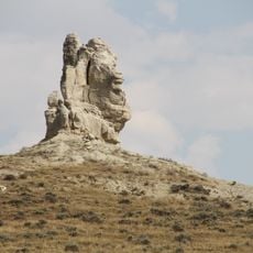
Teapot Rock
49.4 km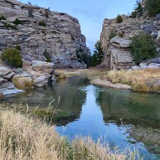
Devil's Gate
67.1 km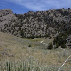
Martin's Cove
67.7 km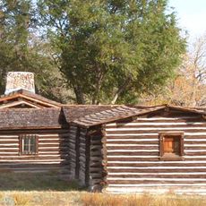
Fort Caspar
38 km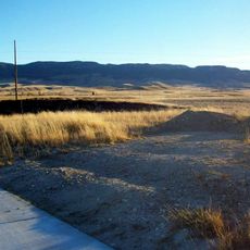
Casper Mountain
46.4 km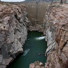
Pathfinder Dam
56 km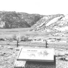
Tom Sun Ranch
67.9 km
National Historic Trails Interpretive Center
39.5 km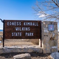
Edness K. Wilkins State Park
52.4 km
Pathfinder National Wildlife Refuge
55.7 km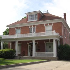
Bishop House
67.1 km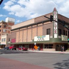
Rialto Theatre
41 km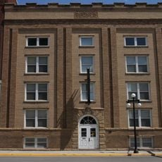
Masonic Temple
41 km
Casper Downtown Historic District
41 km
Church of Saint Anthony
41.2 km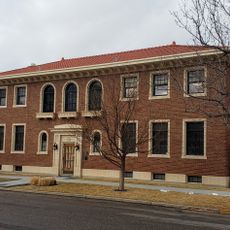
Midwest Oil Company Hotel
41.3 km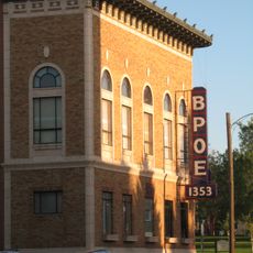
Elks Lodge No. 1353
41.3 km
Odd Fellows Building
41 km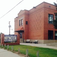
Roosevelt School
40.5 km
Ohio Oil Company Building
41.1 km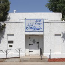
North Casper Clubhouse
41.5 km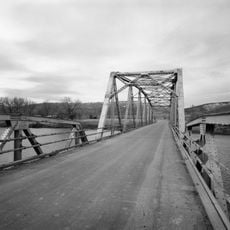
DUX Bessemer Bend Bridge
31.1 km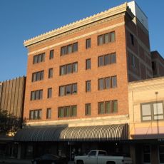
Consolidated Royalty Building
41.1 km
Ewing T. Kerr Federal Building and U.S. Courthouse
41.1 km
Tribune Building (Casper, Wyoming)
41.2 km
Casper Motor Company-Natrona Motor Company
40.9 km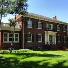
South Wolcott Street Historic District
41.5 kmReviews
Visited this place? Tap the stars to rate it and share your experience / photos with the community! Try now! You can cancel it anytime.
Discover hidden gems everywhere you go!
From secret cafés to breathtaking viewpoints, skip the crowded tourist spots and find places that match your style. Our app makes it easy with voice search, smart filtering, route optimization, and insider tips from travelers worldwide. Download now for the complete mobile experience.

A unique approach to discovering new places❞
— Le Figaro
All the places worth exploring❞
— France Info
A tailor-made excursion in just a few clicks❞
— 20 Minutes