
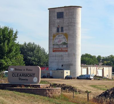
Clearmont, town in Wyoming
Location: Sheridan County
Elevation above the sea: 1,194 m
GPS coordinates: 44.63917,-106.38000
Latest update: May 12, 2025 14:03
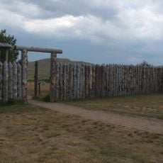
Fort Phil Kearny
37.3 km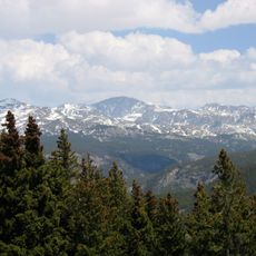
Cloud Peak
69.2 km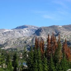
Bomber Mountain
68.7 km
Cloud Peak Wilderness
70.5 km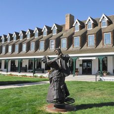
Sheridan Inn
49 km
Black Tooth Mountain
68.7 km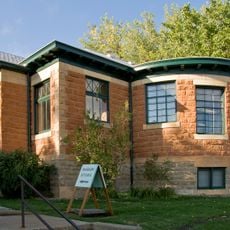
Jim Gatchell Memorial Museum
41.2 km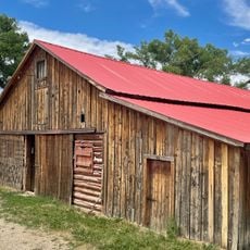
TA Ranch Historic District
58.6 km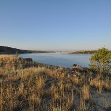
Tongue River Reservoir State Park
60.8 km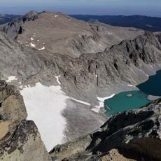
Cloud Peak Glacier
68.6 km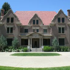
Trail End
49.7 km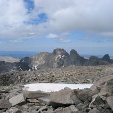
Mount Woolsey
68.6 km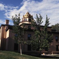
Sheridan County Courthouse
48.8 km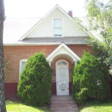
Holland House
40.8 km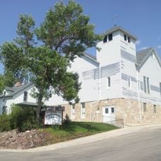
Union Congregational Church and Parsonage
41.3 km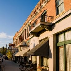
Main Street Historic District
41.2 km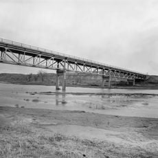
CKW Bridge over Powder River
22.1 km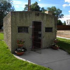
Clearmont Jail
85 m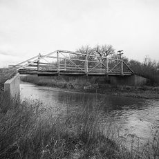
ECR Kooi Bridge
63.4 km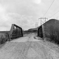
EDL Peloux Bridge
37.7 km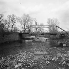
ECS Bridge over Big Goose Creek
60.4 km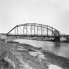
EAU Arvada Bridge
19.9 km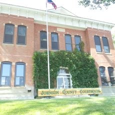
Johnson County Courthouse
41.2 km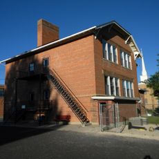
Holy Name Catholic School
48.4 km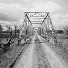
EBF Bridge over Powder River
36.8 km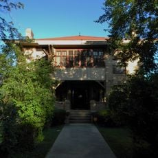
Mount View
49 km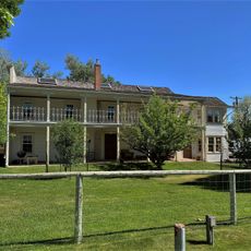
Odd Fellows Hall
48.6 km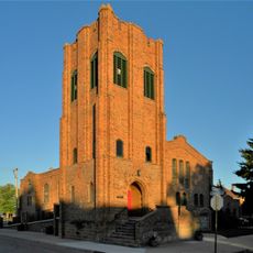
St. Peter's Episcopal Church
49 kmReviews
Visited this place? Tap the stars to rate it and share your experience / photos with the community! Try now! You can cancel it anytime.
Discover hidden gems everywhere you go!
From secret cafés to breathtaking viewpoints, skip the crowded tourist spots and find places that match your style. Our app makes it easy with voice search, smart filtering, route optimization, and insider tips from travelers worldwide. Download now for the complete mobile experience.

A unique approach to discovering new places❞
— Le Figaro
All the places worth exploring❞
— France Info
A tailor-made excursion in just a few clicks❞
— 20 Minutes