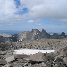
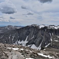
Black Tooth Mountain, Mountain summit in Big Horn County, US.
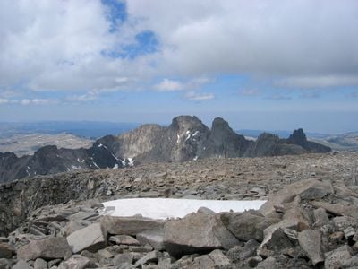
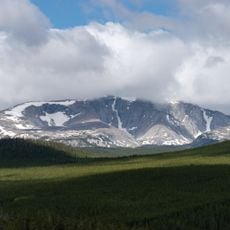
Black Tooth Mountain is a summit in the Bighorn Mountains of Big Horn County, Wyoming, rising to about 13,009 feet (3,964 m). The peak takes its name from the dark, jagged ridgeline that gives it a tooth-like shape when seen from a distance.
The first recorded ascent of the peak was made in 1933 by a team of five climbers led by W. B. Willcox. Their route into the Bighorn high country became the foundation for later expeditions to the same area.
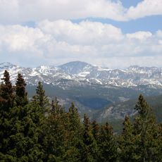
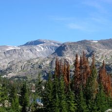
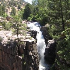
Black Tooth Mountain sits inside the Cloud Peak Wilderness, a roadless area where no motorized travel is allowed. Visitors who reach the summit experience a kind of high country that feels removed from the rest of Wyoming.
The standard approach follows the Little Goose Trail, starting from a trailhead off Forest Road 26 west of the town of Big Horn. The route is long and demanding, so solid experience with high-altitude hiking is strongly recommended before attempting it.
The north-facing slopes of the peak hold several small glaciers, which is unusual for a summit in Wyoming. These ice formations are visible year-round and stand out sharply against the dry, rocky ground that surrounds them.
The community of curious travelers
AroundUs brings together thousands of curated places, local tips, and hidden gems, enriched daily by 60,000 contributors worldwide.