Bighorn Peak, Mountain summit in Johnson County, Wyoming, United States
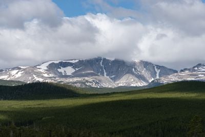
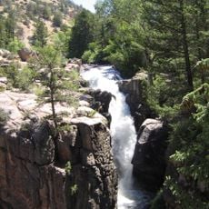
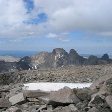
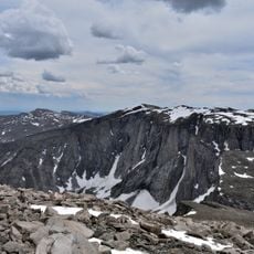
Bighorn Peak is a mountain summit reaching 13,167 feet with three prominent narrow ridges on its eastern side. The peak sits within the Cloud Peak Wilderness and features steep cliffs along with expansive boulder fields on its eastern face.
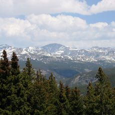
The mountain is part of Bighorn National Forest, established in 1897 as one of the nation's early federally protected forest areas. This designation helped preserve the mountain landscape and its surrounding wilderness for future generations.
The Bighorn Mountains held spiritual importance for indigenous peoples of the region, who used these heights for ceremonies and vision quests. This sacred connection remains part of how the landscape is understood today.
Reaching the summit requires advanced navigation skills and proper mountaineering equipment for the full-day journey. Visitors should check conditions and weather patterns at ranger stations before starting out.
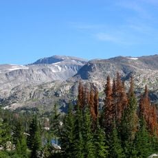
A steep couloir cuts through the eastern face, creating a striking geological feature carved from vertical cliff walls. This natural chute often goes unnoticed by those not looking closely at the terrain.
The community of curious travelers
AroundUs brings together thousands of curated places, local tips, and hidden gems, enriched daily by 60,000 contributors worldwide.