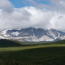
Cloud Peak Wilderness, Protected wilderness area in Big Horn County, Wyoming, US.
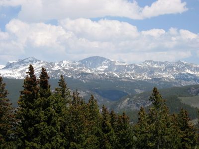
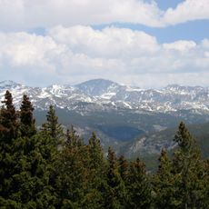
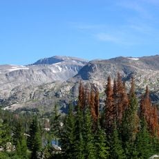
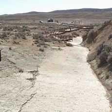
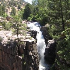
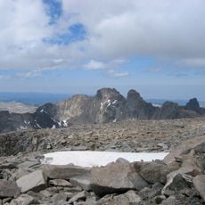
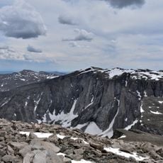
Cloud Peak Wilderness is a protected mountain terrain covering roughly 190,000 acres within the Bighorn National Forest, characterized by rocky peaks, open alpine fields, and scattered high-altitude water bodies. The landscape consists of steep slopes and rugged ridges with minimal human infrastructure.
Congress officially protected this land as a designated wilderness area in 1984, prohibiting motorized access and modern development throughout the region. The designation has preserved the area largely unchanged for over four decades.
Native American tribes hunted and traveled through these mountains for centuries, and the landscape still carries traces of their presence in various forms. The area remains spiritually important to these communities today.
The ideal visiting window runs from June through September when snow melts and mountain passes become accessible for hiking. Visitors should expect steep trails, sudden weather shifts, and be prepared for the physical demands of high-altitude exploration.
The wilderness contains Cloud Peak Glacier, the last active glacier remaining in the Bighorn Mountains, perched at approximately 13,000 feet in elevation. This frozen feature is one of very few remaining at this latitude in the continental United States.
The community of curious travelers
AroundUs brings together thousands of curated places, local tips, and hidden gems, enriched daily by 60,000 contributors worldwide.