Enable Location

We need your location to show you interesting places around you

Discover nearby places

Find interesting locations and hidden gems around you

Precise directions

Get accurate directions and distances to places

Your location is never shared with other users. It's only used when you tap the location button.

Big Horn County

Log in to your account

Start exploring — it's free

Trusted by 63,117 travelers worldwide

Continue with Google
Continue with Apple
or

We will send you a code to connect

By continuing, you accept our Terms and Conditions and our Privacy Policy

Check your inbox

We've sent a pincode in your inbox. Please enter the code below.

Discussion Reviews 1 Photos
17.9k Popularity

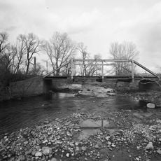
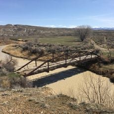
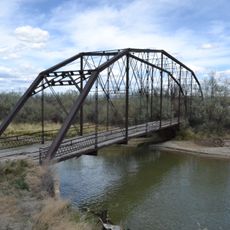
Big Horn County, Administrative county in northern Wyoming, US

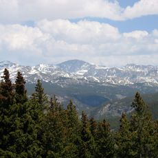
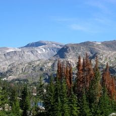
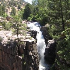
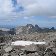
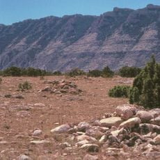
Big Horn County is an administrative county in northern Wyoming with diverse landscapes of mountains, rivers, and valleys. Basin serves as the administrative center, where the District Court, Land Planning Department, and Emergency Management offices are located.

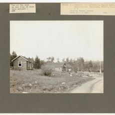
The county was formed in 1897 by combining portions of Fremont, Johnson, and Sheridan counties. This creation reflected the administrative expansion of the region during that period.

The annual County Fair displays livestock traditions and agricultural practices that have shaped life here for generations. Visitors can see the skills and crafts that local people continue to value today.

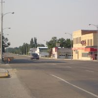
The area is accessible from Basin, where the main government buildings and public facilities are concentrated. Visitors should use major roads to navigate between different parts of the region.

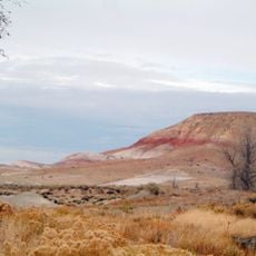
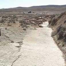
The Red Gulch Dinosaur Track Site preserves numerous footprints from the Middle Jurassic period, offering visible evidence of ancient life. These prehistoric traces attract people interested in the area's deep geological past.

The community of curious travelers

AroundUs brings together thousands of curated places, local tips, and hidden gems, enriched daily by 60,000 contributors worldwide.

Start exploring
Location
Inception
1897
Capital city
Basin
Shares border with
Park County, Washakie County, Johnson County, Sheridan County, Big Horn County, Carbon County
GPS coordinates
44.53000,-107.99000
Latest update
December 7, 2025 19:23
Around this place
Medicine Wheel/Medicine Mountain National Historic Landmark
United States of America

Medicine Wheel/Medicine Mountain National Historic Landmark

33.4 km
Cloud Peak
United States of America

Cloud Peak

66.9 km
Cloverly Formation
United States of America

Cloverly Formation

46.7 km
Natural Trap Cave
United States of America

Natural Trap Cave

51.9 km
Bomber Mountain
United States of America

Bomber Mountain

68.5 km
Cloud Peak Wilderness
United States of America

Cloud Peak Wilderness

64.3 km
Black Tooth Mountain
United States of America

Black Tooth Mountain

65.9 km
Red Gulch Dinosaur Tracksite
United States of America

Red Gulch Dinosaur Tracksite

16.8 km
Shell Falls
United States of America

Shell Falls

30.5 km
United States of America

Cloud Peak Glacier

67.2 km
Hyart Theater
United States of America

Hyart Theater

46.5 km
Mount Woolsey
United States of America

Mount Woolsey

66.2 km
Bad Pass Trail
United States of America

Bad Pass Trail

57.5 km
Ewing-Snell Ranch
United States of America

Ewing-Snell Ranch

65.3 km
Cedarvale
United States of America

Cedarvale

65.9 km
EJZ Bridge over Shoshone River
United States of America

EJZ Bridge over Shoshone River

49.1 km
Lower Shell School House
United States of America

Lower Shell School House

4.5 km
Worland House
United States of America

Worland House

57.4 km
EJE Bridge over Shell Creek
United States of America

EJE Bridge over Shell Creek

14.9 km
ECS Bridge over Big Goose Creek
United States of America

ECS Bridge over Big Goose Creek

72.2 km
EJP County Line Bridge
United States of America

EJP County Line Bridge

47.2 km
Rairden Bridge
United States of America

Rairden Bridge

37.8 km
Susan Wissler House
United States of America

Susan Wissler House

69.2 km
Washakie Museum & Cultural Center
United States of America

Washakie Museum & Cultural Center

57.3 km
Cal S. Taggart Bighorn Canyon Visitor Center
United States of America

Cal S. Taggart Bighorn Canyon Visitor Center

45.9 km
Bighorn Canyon National Recreation Area (parke sa Estados Unidos, Wyoming)
United States of America

Bighorn Canyon National Recreation Area (parke sa Estados Unidos, Wyoming)

42.8 km
Tyrrel Ranger Station
United States of America

Tyrrel Ranger Station

70 km
Tensleep Ranger Station
United States of America

Tensleep Ranger Station

70 km
Show the full map
Reviews
Share your experience

No review yet

Discussions
Start a discussion...

No discussion yet

Administrative divisions
« Big Horn County - Administrative county in northern Wyoming, US » is provided by Around Us (aroundus.com). Images and texts are derived from Wikimedia project under a Creative Commons license. You are allowed to copy, distribute, and modify copies of this page, under the conditions set by the license, as long as this note is clearly visible.

Discover hidden gems everywhere you go!

From secret cafés to breathtaking viewpoints, skip the crowded tourist spots and find places that match your style. Our app makes it easy with voice search, smart filtering, route optimization, and insider tips from travelers worldwide. Download now for the complete mobile experience.

Around Us App Screenshot

A unique approach to discovering new places

Le Figaro

All the places worth exploring

France Info

A tailor-made excursion in just a few clicks

20 Minutes

Around Us
Travel Guide & Maps
Download

Send to your phone

QR Code
1

Open the camera app on your mobile.

2

Point at the QR code with your camera. A notification will appear.

3

Tap the notification to open the link.