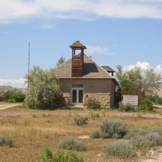
Medicine Wheel/Medicine Mountain National Historic Landmark, Stone ceremonial structure in Big Horn County, United States
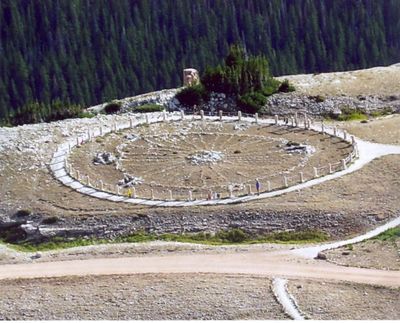
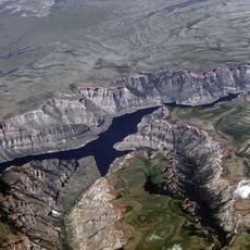
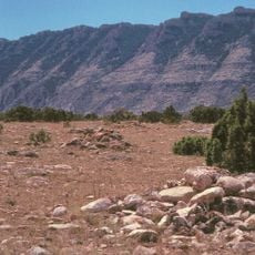
Medicine Wheel/Medicine Mountain is a stone structure in the Bighorn Mountains of Wyoming, consisting of a central cairn connected to an outer ring by 28 limestone spokes. The entire arrangement measures roughly 80 feet across and sits on a flat ridge surrounded by alpine meadows and distant peaks.
The structure was built over a thousand years ago and likely served both astronomical observation and spiritual purposes for successive generations of indigenous peoples. It received National Historic Landmark status in 1970 and gained expanded protection covering roughly 4080 acres in 2011.
Several Native American nations, including the Crow, Arapaho, and Shoshone, still visit the site for ceremonial purposes and leave offerings such as tobacco bundles and colored cloth strips. The names of these peoples reflect their historical connection to the high plains, with each nation preserving its own stories and uses for the stone circle.
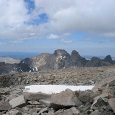
The site sits at roughly 9640 feet elevation and requires a walk of about 1.5 miles from the parking area, which can be demanding in thin air and alpine conditions. Access is typically possible from June through September when snow does not block the forest road and trail.
Studies show that the stone arrangement aligns with specific celestial events, including sunrise at summer and winter solstice and the rise of certain bright stars. These alignments suggest that earlier builders incorporated astronomical knowledge into the design.
The community of curious travelers
AroundUs brings together thousands of curated places, local tips, and hidden gems, enriched daily by 60,000 contributors worldwide.