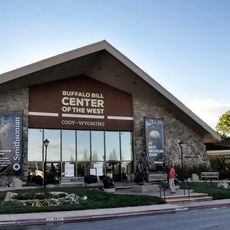
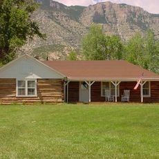
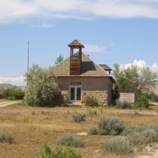
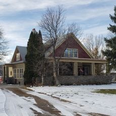
Cal S. Taggart Bighorn Canyon Visitor Center
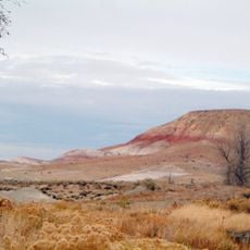
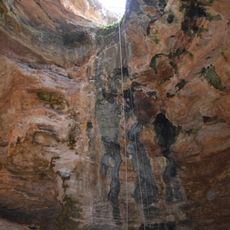
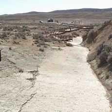
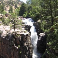
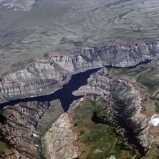
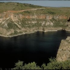
Cal S. Taggart Bighorn Canyon Visitor Center is a National Park Service information facility in Lovell, Wyoming. Here you'll find maps, displays, and guidance for exploring the nearby Bighorn Canyon and its surrounding landscape.
The visitor center was named after Cal S. Taggart, a noted naturalist and advocate for the region's parks. It has served since its establishment as a gateway point for people visiting the Bighorn Canyon National Recreation Area.
The center offers free information and resources for planning your visit to Bighorn Canyon. Plan to arrive early in the day to speak with staff and gather maps and guides for your exploration.
The center serves as an official stamp location for the Passport to Your National Parks program, allowing visitors to collect and document their travels. This makes it a popular stop for anyone tracking their exploration of the national park system.
The community of curious travelers
AroundUs brings together thousands of curated places, local tips, and hidden gems, enriched daily by 60,000 contributors worldwide.